
Gurjão, municipality of Paraíba, Brazil
Location: Paraíba
Elevation above the sea: 490 m
Shares border with: Soledade, Santo André, Boa Vista, Cabaceiras, Juazeirinho, Parari, São João do Cariri
GPS coordinates: -7.24694,-36.48889
Latest update: March 7, 2025 01:02
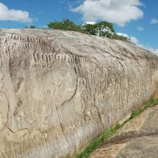
Ingá Stone
100.2 km
Açude Velho
67.3 km
Sanctuary of Frei Damiao
119.2 km
Museum of Popular Arts of Paraíba
67.4 km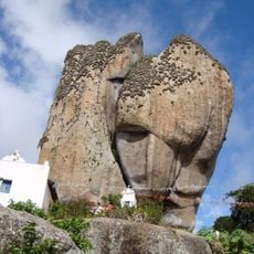
Pedra de Santo Antônio
77.2 km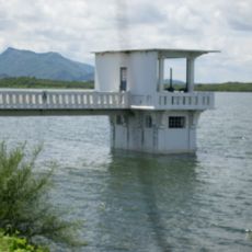
Açude Itans
102.3 km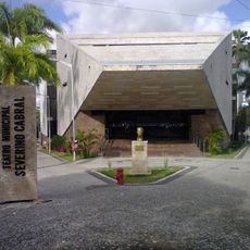
Severino Cabral Municipal Theatre
66.4 km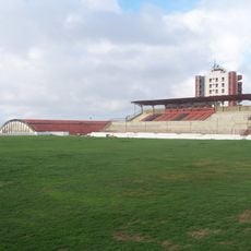
Estádio Renato Cunha Lima
64.8 km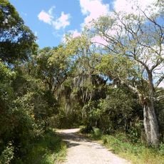
Pico do Jabre State Park
98.9 km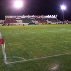
Estádio José Cavalcanti
91.5 km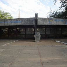
Assis Chateaubriand Museum of Art
66.3 km
Historical and Geographic museum of Campina Grande
67.1 km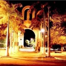
St. Ann Cathedral, Caicó
110.3 km
Museu do Algodão
66.8 km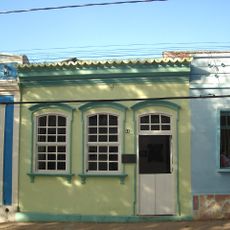
Museum of Pedro Américo's House
92 km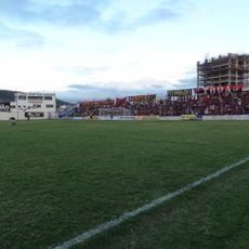
Estádio Otávio Limeira Alves
84.8 km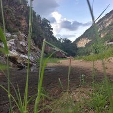
Apertados Canyon
101.5 km
Açude Santa Luzia
62.9 km
Centro Histórico de Alagoa Grande
97.4 km
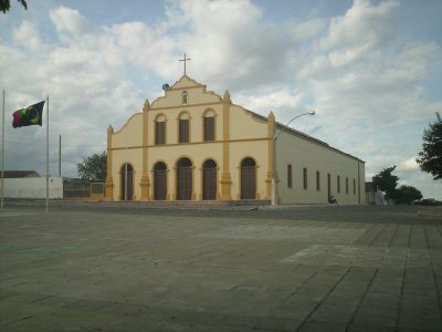
Church of Our Lady of Sorrows
38.5 km
Centro Histórico de Bananeiras
109.2 km
Parque do Povo
66.4 km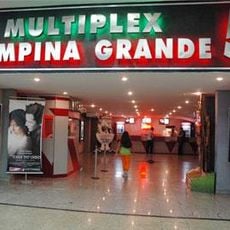
Cinesercla Campina Grande
68.1 km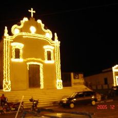
Church of Our Lady of the Rosary
91.5 km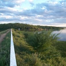
Açude Sumé
66.3 km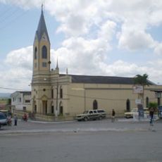
Igreja Matriz de Nossa Senhora da Piedade (Arara)
93.3 km
Centro Histórico de Campina Grande
67.1 km
Historic center of Areia
92 kmReviews
Visited this place? Tap the stars to rate it and share your experience / photos with the community! Try now! You can cancel it anytime.
Discover hidden gems everywhere you go!
From secret cafés to breathtaking viewpoints, skip the crowded tourist spots and find places that match your style. Our app makes it easy with voice search, smart filtering, route optimization, and insider tips from travelers worldwide. Download now for the complete mobile experience.

A unique approach to discovering new places❞
— Le Figaro
All the places worth exploring❞
— France Info
A tailor-made excursion in just a few clicks❞
— 20 Minutes