Enable Location

We need your location to show you interesting places around you

Discover nearby places

Find interesting locations and hidden gems around you

Precise directions

Get accurate directions and distances to places

Your location is never shared with other users. It's only used when you tap the location button.

Barreirinhas

Log in to your account

Start exploring — it's free

Trusted by 64,853 travelers worldwide

Continue with Google
Continue with Apple
or

We will send you a code to connect

By continuing, you accept our Terms and Conditions and our Privacy Policy

Check your inbox

We've sent a pincode in your inbox. Please enter the code below.

Discussion Reviews 2 Photos
3.4k Popularity

Barreirinhas, Gateway town to Lençóis Maranhenses National Park in Maranhão, Brazil.

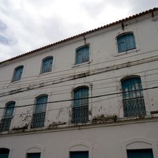
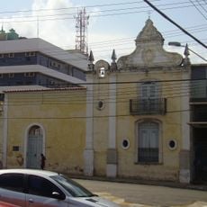
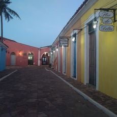
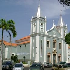
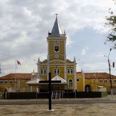
Barreirinhas is a municipality in the northern part of Maranhão state, Brazil, situated along the Preguiças River near the Atlantic coast. The town itself is modest in size, with low buildings spread around a central area, while the surrounding territory shifts between sand dunes, rivers, and wetlands.

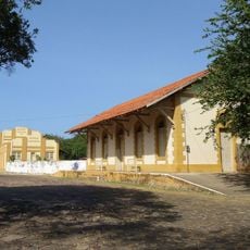
Settlement in the area grew during the 18th century around the Preguiças River, which served as the main route for moving agricultural goods like cotton and rice to the coast. The area gained recognition as a separate municipality during the 20th century as the population along the river slowly increased.

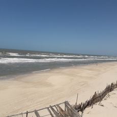
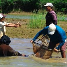
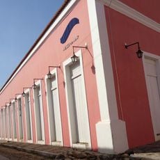
Barreirinhas is known as the main gateway to Lençóis Maranhenses National Park, and much of daily life in town revolves around the visitors who come for the dunes and lagoons. Along the Preguiças riverbank, small restaurants and guesthouses give the town center a relaxed, river-facing character.

The town is reachable from São Luís by bus on paved roads, and it is the most common starting point for excursions into the national park. The rainy season fills the lagoons inside the park, while the dry season makes the sandy tracks easier to cross and the dunes more accessible.

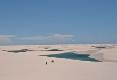
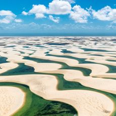
Although the dunes of Lençóis Maranhenses look dry, the lagoons that form between them are fed entirely by rainwater that cannot drain through the compacted sand beneath. The sand sits on top of an impermeable rock layer, which traps the water and allows the lagoons to stay filled for months after the rains end.

The community of curious travelers

AroundUs brings together thousands of curated places, local tips, and hidden gems, enriched daily by 60,000 contributors worldwide.

Start exploring
Location
Elevation above the sea
4 m
Shares border with
Paulino Neves, Santa Quitéria do Maranhão, São Bernardo, Santana do Maranhão, Primeira Cruz, Santo Amaro do Maranhão, Belágua
GPS coordinates
-2.74694,-42.82583
Latest update
March 3, 2026 13:59
Reviews
Share your experience

No review yet

Discussions
Start a discussion...

No discussion yet

« Barreirinhas - Gateway town to Lençóis Maranhenses National Park in Maranhão, Brazil » is provided by Around Us (aroundus.com). Images and texts are derived from Wikimedia project under a Creative Commons license. You are allowed to copy, distribute, and modify copies of this page, under the conditions set by the license, as long as this note is clearly visible.

Discover hidden gems everywhere you go!

From secret cafés to breathtaking viewpoints, skip the crowded tourist spots and find places that match your style. Our app makes it easy with voice search, smart filtering, route optimization, and insider tips from travelers worldwide. Download now for the complete mobile experience.

Around Us App Screenshot

A unique approach to discovering new places

Le Figaro

All the places worth exploring

France Info

A tailor-made excursion in just a few clicks

20 Minutes

Around Us
Travel Guide & Maps
Download

Send to your phone

QR Code
1

Open the camera app on your mobile.

2

Point at the QR code with your camera. A notification will appear.

3

Tap the notification to open the link.