Enable Location

We need your location to show you interesting places around you

Discover nearby places

Find interesting locations and hidden gems around you

Precise directions

Get accurate directions and distances to places

Your location is never shared with other users. It's only used when you tap the location button.

Palmácia

Log in to your account

Start exploring — it's free

Trusted by 62,033 travelers worldwide

Continue with Google
Continue with Apple
or

We will send you a code to connect

By continuing, you accept our Terms and Conditions and our Privacy Policy

Check your inbox

We've sent a pincode in your inbox. Please enter the code below.

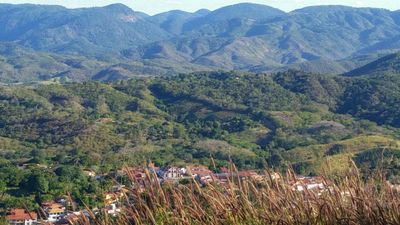
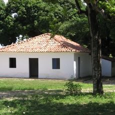
Palmácia, Mountain municipality in Ceará, Brazil.

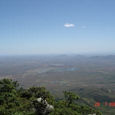
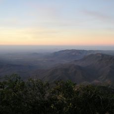
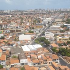
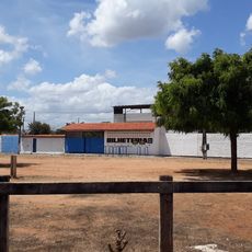
Palmácia is a mountain municipality within the Maranguape region, situated on elevated terrain that creates distinctive landscapes with natural rock formations and slopes. The town spreads across this varied topography at around 704 meters above sea level, giving the area its characteristic geographic setting.

The municipality gained official administrative status on August 28, 1957, establishing itself as an independent entity within Ceará state. This formal recognition allowed for separate local governance and marked the beginning of its development as a distinct community.

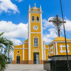
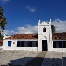
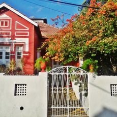
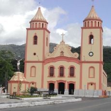
Local customs here blend indigenous, African, and European traditions through celebrations and daily practices that shape community life. You can observe this mix in how residents interact and mark important moments together throughout the year.

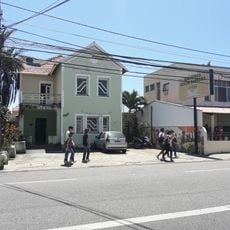
Access is easiest through Fortaleza Airport, which connects to regional transportation networks serving the area. Local transport providers and bus services link this mountain town to nearby regions, making travel between destinations straightforward.

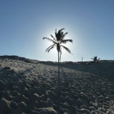
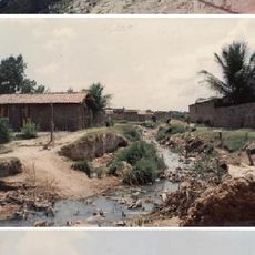
The mountainous setting creates distinct environmental conditions that support specific farming practices found nowhere else in the region. This natural advantage attracts visitors interested in experiencing agriculture and nature activities in elevated terrain.

The community of curious travelers

AroundUs brings together thousands of curated places, local tips, and hidden gems, enriched daily by 60,000 contributors worldwide.

Start exploring
Location
Inception
August 28, 1957
Elevation above the sea
704 m
Shares border with
Caridade, Guaiúba, Maranguape, Pacoti, Redenção
GPS coordinates
-4.15000,-38.84583
Latest update
December 7, 2025 20:40
« Palmácia - Mountain municipality in Ceará, Brazil » is provided by Around Us (aroundus.com). Images and texts are derived from Wikimedia project under a Creative Commons license. You are allowed to copy, distribute, and modify copies of this page, under the conditions set by the license, as long as this note is clearly visible.

Discover hidden gems everywhere you go!

From secret cafés to breathtaking viewpoints, skip the crowded tourist spots and find places that match your style. Our app makes it easy with voice search, smart filtering, route optimization, and insider tips from travelers worldwide. Download now for the complete mobile experience.

Around Us App Screenshot

A unique approach to discovering new places

Le Figaro

All the places worth exploring

France Info

A tailor-made excursion in just a few clicks

20 Minutes

Around Us
Travel Guide & Maps
Download

Send to your phone

QR Code
1

Open the camera app on your mobile.

2

Point at the QR code with your camera. A notification will appear.

3

Tap the notification to open the link.