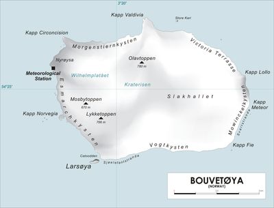
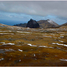
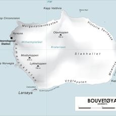
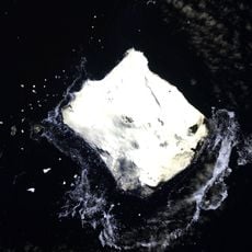
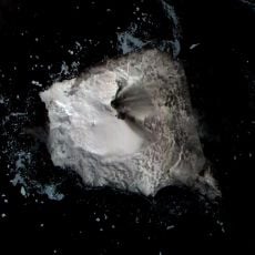
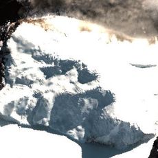
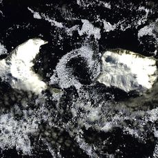
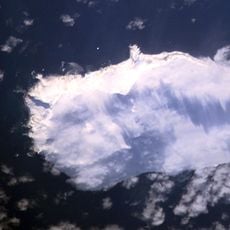
Mosbytoppane, Summit in Bouvet Island, Norway
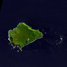
Mosbytoppane consists of two prominent rock crags reaching about 670 meters above sea level, positioned southwest of the central caldera on Bouvet Island. These twin peaks form a distinctive geographic feature of this volcanic landmass.
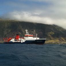
The peak was surveyed and documented during a Norwegian expedition led by Captain Harald Horntvedt between 1927 and 1928. This scientific mission explored and recorded the geological features of the remote island.
The mountain takes its name from Hakon Mosby, an oceanographer and meteorologist involved in the early Norwegian expedition to the island.
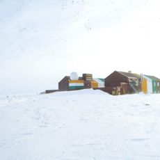
Access requires special permits from Norwegian authorities and specialized polar expedition equipment due to the extreme weather and icy conditions found there. Visitors must be well-prepared for persistent cold, wind, and challenging terrain.
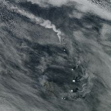
The summit ranks among Norway's southernmost mountains and sits on an uninhabited volcanic island in the middle of the South Atlantic Ocean. This extreme location places it among the most remote geographical points under Norwegian administration.
The community of curious travelers
AroundUs brings together thousands of curated places, local tips, and hidden gems, enriched daily by 60,000 contributors worldwide.