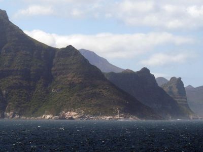
Karbonkelberg, Mountain summit in Hout Bay, South Africa.
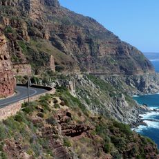
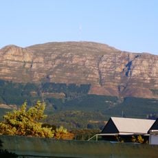
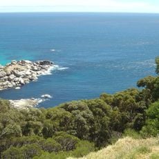
Karbonkelberg is a mountain summit in Hout Bay that rises to 594 meters with multiple hiking trails crisscrossing its slopes. The peak offers views across the Atlantic Ocean and overlooks areas within Table Mountain National Park.
During World War II, a radar station was built near the summit as one of 15 strategic monitoring points along the Western Cape coast. This military installation played a key role in protecting the region during the war.
The mountain's name comes from Dutch settlers who named it after its dark rocky appearance, with 'karbonkel' meaning coal in their language. You can see this connection to the past reflected in the dark stones that cover much of the summit.
The hiking trails are accessible throughout the year, with spring and autumn offering cooler temperatures and clearer skies for extended visibility. Weather conditions change quickly in this coastal area, so it pays to check conditions before heading up.
The summit holds remains of the radar installation from the 1940s that once monitored maritime traffic and now stands as a historical landmark. These remnants offer visitors a tangible connection to the region's wartime past.
The community of curious travelers
AroundUs brings together thousands of curated places, local tips, and hidden gems, enriched daily by 60,000 contributors worldwide.