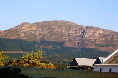
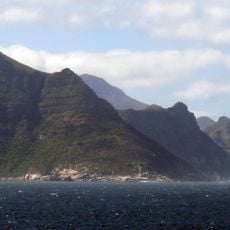
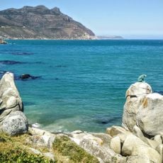
Constantiaberg, Mountain summit in Cape Peninsula, South Africa
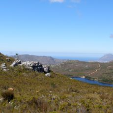
Constantiaberg is a mountain summit on the Cape Peninsula in South Africa, reaching around 927 meters and forming the southern end of the Table Mountain range. A tall VHF transmission mast stands at its peak, making the summit easy to spot from across the city.
During the Anglo-Boer War, military forces used the elevated position of Constantiaberg to observe the surrounding region. Later, the summit became a site for telecommunications and weather infrastructure, which remains in use today.
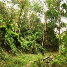
The slopes of Constantiaberg are covered in fynbos, a type of low shrubland found only in the Western Cape region. Local hikers treat the mountain as part of their weekly routine, and the trails are often busy on weekend mornings.
Several marked trails lead to the summit, with the most common access coming from the Tokai Forest to the east. Conditions at this elevation can shift fast, so bringing a windproof layer and water is a good idea regardless of how the morning starts.
A weather radar installation at the peak is operated by the South African Weather Service to track conditions across the peninsula. This makes Constantiaberg one of the few hiking summits in the country that also functions as an active node in the national forecasting network.
The community of curious travelers
AroundUs brings together thousands of curated places, local tips, and hidden gems, enriched daily by 60,000 contributors worldwide.