
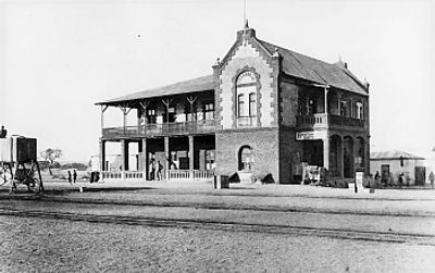
Okahandja, human settlement
Location: Otjozondjupa Region
Elevation above the sea: 1,650 m
Website: http://okahandja.net
GPS coordinates: -21.98333,16.91667
Latest update: March 3, 2025 12:37

Reiterdenkmal, Windhoek
67.6 km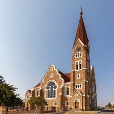
Christ Church, Windhoek
67.4 km
Alte Feste
67.6 km
Tintenpalast
67.3 km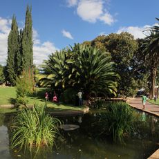
Zoo Park
67.3 km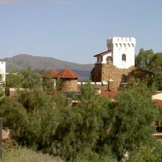
Heinitzburg
68.2 km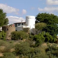
Schwerinsburg
68.1 km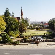
Parliament Gardens
67.3 km
Sanderburg
68.2 km
Daan Viljoen Game Reserve
61.4 km
Sanlam Centre
66.3 km
Outjo-Museum
66.3 km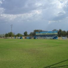
Ramblers Stadium
69.4 km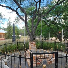
Grave of Jonker Afrikaner
602 m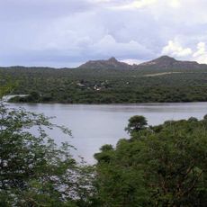
Von-Bach-Erholungsgebiet
6 km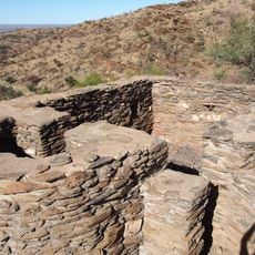
Look-Out Post
64.8 km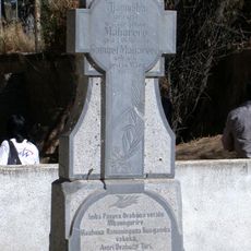
Herero Grave Complex
464 m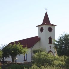
Lukaskirche (Windhoek)
67.8 km
Grave of John Ludwig
68 km
Ovikokorero War Memorial
369 m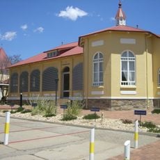
Elisabeth House
67 km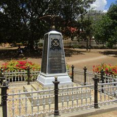
War Memorial
67.3 km
Ten-man House
68.2 km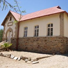
Old German School Building
68.7 km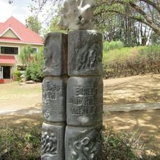
Relics of prehistoric elephant
67.3 km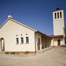
Friedenskirche Okahandja
330 m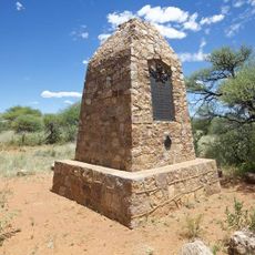
Okaharui War Memorial
369 m
Nǀa’an ku sê Wildlife Sanctuary
65.1 kmVisited this place? Tap the stars to rate it and share your experience / photos with the community! Try now! You can cancel it anytime.
Discover hidden gems everywhere you go!
From secret cafés to breathtaking viewpoints, skip the crowded tourist spots and find places that match your style. Our app makes it easy with voice search, smart filtering, route optimization, and insider tips from travelers worldwide. Download now for the complete mobile experience.

A unique approach to discovering new places❞
— Le Figaro
All the places worth exploring❞
— France Info
A tailor-made excursion in just a few clicks❞
— 20 Minutes