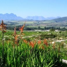
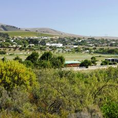
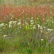
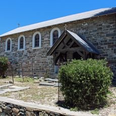
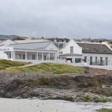
Swartland Local Municipality, local municipality in the Western Cape, South Africa
Location: West Coast District Municipality
Inception: December 5, 2000
Capital city: Malmesbury
Elevation above the sea: 132 m
Shares border with: Bergrivier Local Municipality, Drakenstein Local Municipality, Saldanha Bay Local Municipality, City of Cape Town
GPS coordinates: -33.33333,18.66667
Latest update: March 3, 2025 02:06
Robben Island
59.3 km
Robben Island Maximum Security Prison
58.8 km
The Goat Tower
54.4 km
Afrikaans Language Monument
54.5 km
Rietvlei Wetland Reserve
59.1 km
Robben Island Prison
58.8 km
Tygerberg Nature Reserve
61 km
Boland Stadium
44.5 km
Bloubergstrand Beach
57.4 km
Table Bay Nature Reserve
59.1 km
Bellville’s Historical Clay and Stone Quarry and the Adjacent Jail
60.6 km
Bracken Nature Reserve
60.8 km
Durbanville Nature Reserve
56.5 km
Uitkamp Wetlands
53.8 km
Robben Island Lighthouse
60 km
Dutch Reformed Church, Durbanville
56.1 km
Dassen Island Lighthouse
54.8 km
Babylonstoren
59.7 km
Ceres Transport Riders’ Museum
49.4 km
!Khwa ttu
36.9 km
!Khwa ttu Nature Reserve
38 km
Robben Island Museum
58.7 km
Voëlvlei Reservoir
35.1 km
Church of the Good Shepherd, Robben Island
59 km
The Blue Peter Hotel
55.1 km
Laborie Main House
55.2 km
Dolphin Coast
54.9 km
Laborie Wine Cellar
55.3 kmReviews
Visited this place? Tap the stars to rate it and share your experience / photos with the community! Try now! You can cancel it anytime.
Discover hidden gems everywhere you go!
From secret cafés to breathtaking viewpoints, skip the crowded tourist spots and find places that match your style. Our app makes it easy with voice search, smart filtering, route optimization, and insider tips from travelers worldwide. Download now for the complete mobile experience.
A unique approach to discovering new places❞
— Le Figaro
All the places worth exploring❞
— France Info
A tailor-made excursion in just a few clicks❞
— 20 Minutes