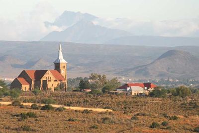
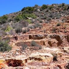
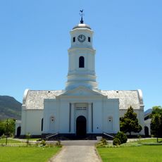
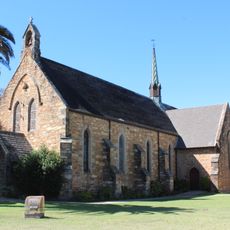
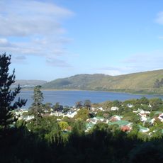
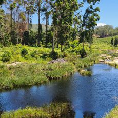
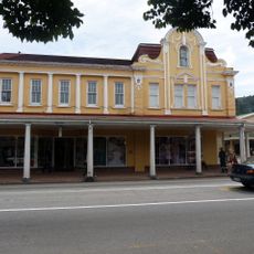
Oudtshoorn Local Municipality, local municipality in the Western Cape, South Africa
Location: Garden Route District Municipality
Inception: December 5, 2000
Capital city: Oudtshoorn
Shares border with: George Local Municipality, Mossel Bay Local Municipality, Hessequa Local Municipality, Kannaland Local Municipality, Prince Albert Local Municipality
GPS coordinates: -33.66667,22.16667
Latest update: March 31, 2025 05:25
Cango Caves
30.8 km
Pinnacle Point
60.7 km
Swartberg
37.7 km
Garden Route National Park
106.8 km
Cango Wildlife Ranch
12 km
Post Office Tree, Mossel Bay
57.2 km
Knysna Elephant Park
110.1 km
Gondwana Game Reserve
51.8 km
Outeniqua Transport Museum
43.5 km
Wilderness National Park
54.5 km
Bartolomeu Dias Museum Complex
57.2 km
CP Nel Museum
8.9 km
Cape St. Blaize Lighthouse
57.8 km
Gouritz River Bridge
69.3 km
Gamkaberg Nature Reserve
52.6 km
Moederkerk
42.3 km
St Mark's Cathedral, George, Western Cape
42.2 km
Knysna National Lake Area
91.5 km
Swartberg Nature Reserve
38 km
All Saints Church, Uniondale
89.1 km
Steenbok Nature Reserve
93.8 km
Diaz Water Park
55.1 km
Bridges over the Gourits River
69.2 km
Moordkuil River
45.1 km
Pezula Golf Club
96.4 km
Simola Golf & Country Estate
88.2 km
Stilbaai Tidal Fish Traps
107.1 km
Melville's Building
91.3 kmReviews
Visited this place? Tap the stars to rate it and share your experience / photos with the community! Try now! You can cancel it anytime.
Discover hidden gems everywhere you go!
From secret cafés to breathtaking viewpoints, skip the crowded tourist spots and find places that match your style. Our app makes it easy with voice search, smart filtering, route optimization, and insider tips from travelers worldwide. Download now for the complete mobile experience.
A unique approach to discovering new places❞
— Le Figaro
All the places worth exploring❞
— France Info
A tailor-made excursion in just a few clicks❞
— 20 Minutes