
Magareng Local Municipality, local municipality in the Northern Cape, South Africa
Location: Frances Baard District Municipality
Inception: December 5, 2000
Capital city: Warrenton
Elevation above the sea: 1,198 m
GPS coordinates: -28.16670,24.83330
Latest update: March 14, 2025 02:42
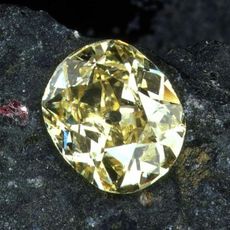
Eureka Diamond
64.1 km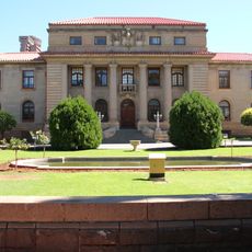
Supreme Court of Appeal of South Africa
171.5 km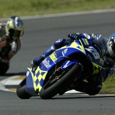
Phakisa Freeway
186.9 km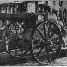
Long Cecil
65.4 km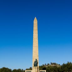
National Women's Monument
172.7 km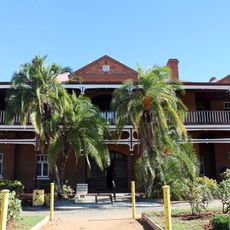
McGregor Museum
65.1 km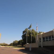
Anglo-Boer War Museum
172.6 km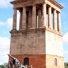
Honoured Dead Memorial
65.4 km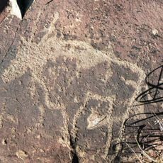
Wildebeest Kuil Rock Art Centre
58.5 km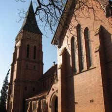
St Cyprian's Cathedral, Kimberley
64.4 km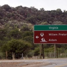
Willem Pretorius Game Reserve
236.1 km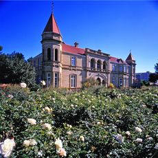
Old Presidency
171.7 km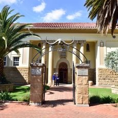
National Museum, Bloemfontein
171.7 km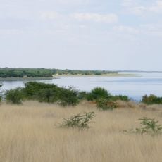
Sandveld Nature Reserve
92.3 km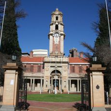
National Afrikaans Literary Museum and Research Centre
171.6 km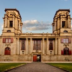
Bloemfontein City Hall
171.4 km
Canteen Kopje
51.3 km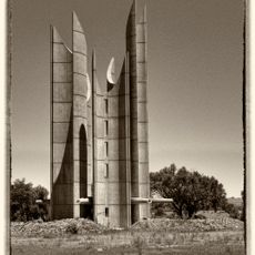
Winburg Voortrekker monument
216.3 km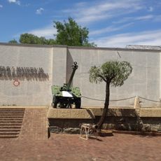
Queen's Fort Military Museum
172.5 km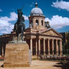
Fourth Raadsaal
171.6 km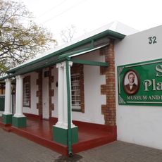
Sol Plaatje Museum
64.9 km
Duggan-Cronin Gallery
64.9 km
Koeksistermonument
187.5 km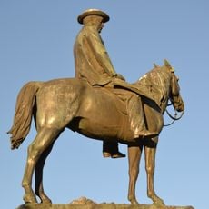
Statue équestre de Cecil Rhodes
64.1 km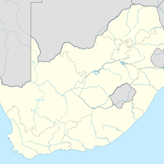
Tierpoort Reservoir
188.8 km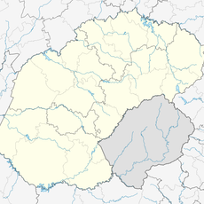
Meyerspruit
185.3 km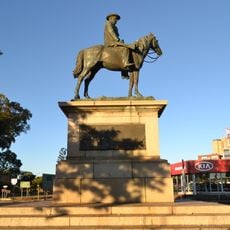
Equestrian statue of Cecil Rhodes
64.3 km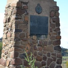
Sand River Convention Monument
220.8 kmReviews
Visited this place? Tap the stars to rate it and share your experience / photos with the community! Try now! You can cancel it anytime.
Discover hidden gems everywhere you go!
From secret cafés to breathtaking viewpoints, skip the crowded tourist spots and find places that match your style. Our app makes it easy with voice search, smart filtering, route optimization, and insider tips from travelers worldwide. Download now for the complete mobile experience.

A unique approach to discovering new places❞
— Le Figaro
All the places worth exploring❞
— France Info
A tailor-made excursion in just a few clicks❞
— 20 Minutes