Enable Location

We need your location to show you interesting places around you

Discover nearby places

Find interesting locations and hidden gems around you

Precise directions

Get accurate directions and distances to places

Your location is never shared with other users. It's only used when you tap the location button.

Kgalagadi District

Log in to your account

Start exploring — it's free

Trusted by 62,990 travelers worldwide

Continue with Google
Continue with Apple
or

We will send you a code to connect

By continuing, you accept our Terms and Conditions and our Privacy Policy

Check your inbox

We've sent a pincode in your inbox. Please enter the code below.

Discussion Reviews 1 Photos
8.3k Popularity

Kgalagadi District, Administrative district in southwestern Botswana

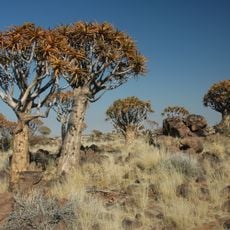
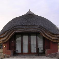
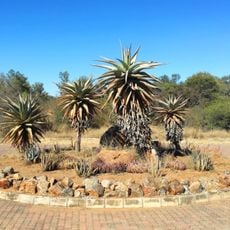
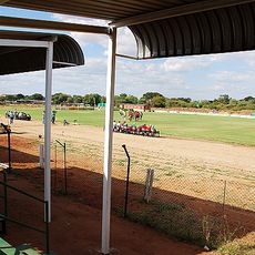
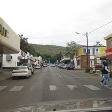
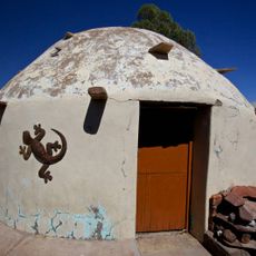
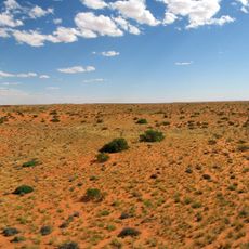
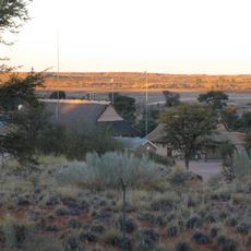
Kgalagadi District spreads across portions of the Kalahari Desert with sand dunes and scattered plant life throughout. Tshabong serves as the main administrative hub where government offices and schools provide essential services to local residents.

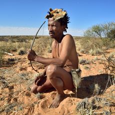
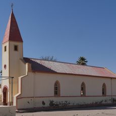
The area was home to several local communities with their own administrative systems before change. When Botswana became independent in 1966, these traditional territories were integrated into the new district framework that exists today.

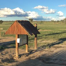
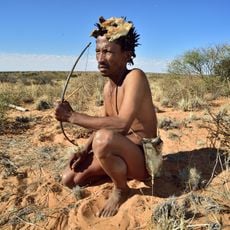
Local communities here maintain deep roots in Tswana traditions, using their gathering spaces for ceremonies and celebrations that shape how people relate to one another.

The territory is sparsely populated with large distances separating towns and villages. Travelers should prepare for long driving stretches and ensure their vehicles and supplies are suitable for journeys through remote areas.

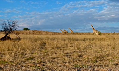
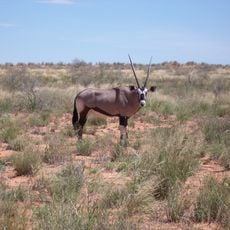
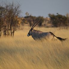
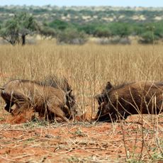
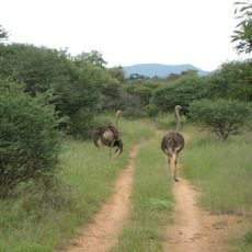
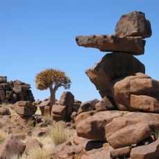
A large wildlife park spreads across more than a third of the district and links across the border with South Africa to form a cross-boundary nature reserve. This arrangement allows wild animals to roam naturally between the two countries.

The community of curious travelers

AroundUs brings together thousands of curated places, local tips, and hidden gems, enriched daily by 60,000 contributors worldwide.

Start exploring
Location
Capital city
Tshabong
Elevation above the sea
1,054 m
Shares border with
Ghanzi District, Kweneng District, Southern District, Northern Cape, North West, Omaheke Region, Hardap Region
GPS coordinates
-25.00000,22.00000
Latest update
December 10, 2025 16:02
Reviews
Share your experience

No review yet

Discussions
Start a discussion...

No discussion yet

« Kgalagadi District - Administrative district in southwestern Botswana » is provided by Around Us (aroundus.com). Images and texts are derived from Wikimedia project under a Creative Commons license. You are allowed to copy, distribute, and modify copies of this page, under the conditions set by the license, as long as this note is clearly visible.

Discover hidden gems everywhere you go!

From secret cafés to breathtaking viewpoints, skip the crowded tourist spots and find places that match your style. Our app makes it easy with voice search, smart filtering, route optimization, and insider tips from travelers worldwide. Download now for the complete mobile experience.

Around Us App Screenshot

A unique approach to discovering new places

Le Figaro

All the places worth exploring

France Info

A tailor-made excursion in just a few clicks

20 Minutes

Around Us
Travel Guide & Maps
Download

Send to your phone

QR Code
1

Open the camera app on your mobile.

2

Point at the QR code with your camera. A notification will appear.

3

Tap the notification to open the link.