Bushbuckridge Local Municipality, Local municipality in northeastern Mpumalanga Province, South Africa.
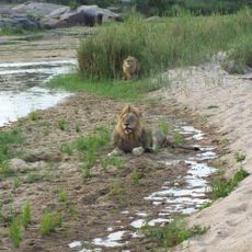
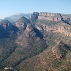
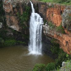
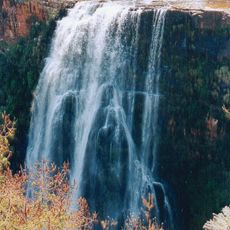
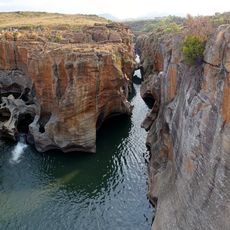
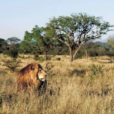
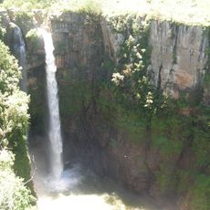
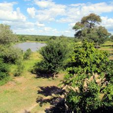
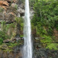
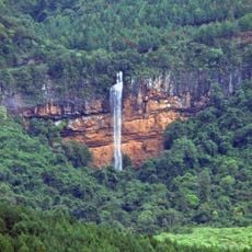
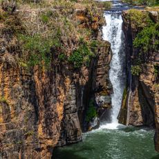
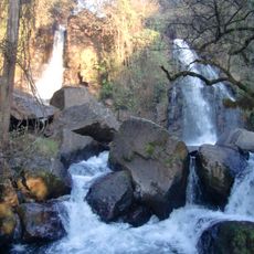
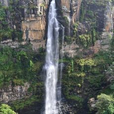
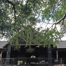
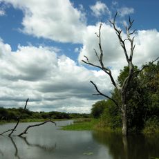
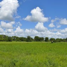
Bushbuckridge is a local municipality in northeastern Mpumalanga Province covering agricultural zones, pine plantations, and sections of Kruger National Park. The terrain combines farming areas with conservation lands that define its geographic character.
The region was formerly called Mapulaneng and was home to the Mapulana people before becoming a separate municipality in 2000. This administrative change reflected a broader reorganization of local government boundaries in the province.
Various language communities including Tsonga, Northern Sotho, and Swati speakers live throughout the settlements and maintain traditional customs in their daily routines. These cultural practices shape the character of local gatherings and celebrations.
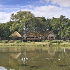
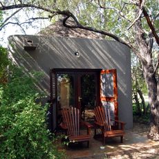
The municipality connects to major towns including Hoedspruit, Pilgrim's Rest, and Graskop through regional roads that facilitate travel. Visitors should expect varying infrastructure conditions between town centers and more remote areas.
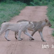
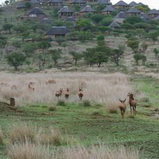
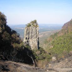
The name comes from large herds of bushbuck antelope spotted during the 1880s and a distinctive ridge formation in the southeastern area. These geographic and animal-related features remain connected to how the place is understood today.
The community of curious travelers
AroundUs brings together thousands of curated places, local tips, and hidden gems, enriched daily by 60,000 contributors worldwide.