Mbombela Local Municipality, Local municipality in Mpumalanga Province, South Africa
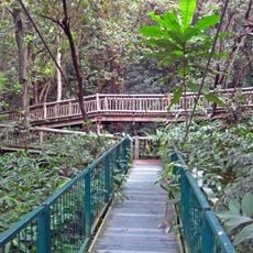
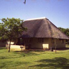
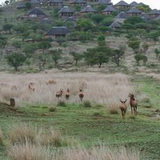
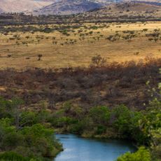
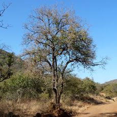
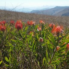
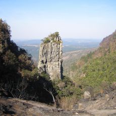
Mbombela Local Municipality is an administrative district in northeastern South Africa comprising towns, farming areas, and protected natural spaces. The territory integrates diverse settlement patterns ranging from urban centers to rural agricultural zones.
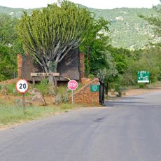
The municipality came into being in December 2000 and expanded significantly in 2016 through a merger with Umjindi Local Municipality, which brought Barberton under its governance. This territorial expansion marked a major administrative reorganization in the region.
Multiple language communities inhabit the area, with Swazi, Afrikaans, English, and Tsonga speakers forming the social fabric of daily life. This linguistic diversity shapes how people interact in markets, schools, and neighborhoods throughout the region.
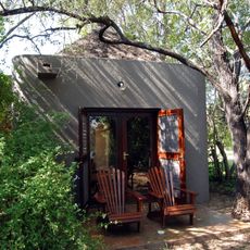
The municipal administration is based in Mbombela and manages local services for the population. The dry season offers the best conditions for visiting and traveling through the district.
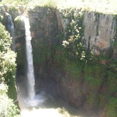
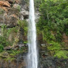
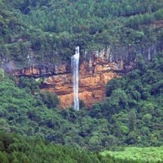
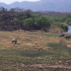
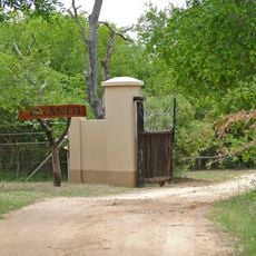
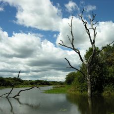
The area sits at an elevation that makes it a natural gateway to the Kruger National Park and to Mozambique through trade and transport corridors. This location has made it a crossroads for travelers and commerce in the region.
The community of curious travelers
AroundUs brings together thousands of curated places, local tips, and hidden gems, enriched daily by 60,000 contributors worldwide.