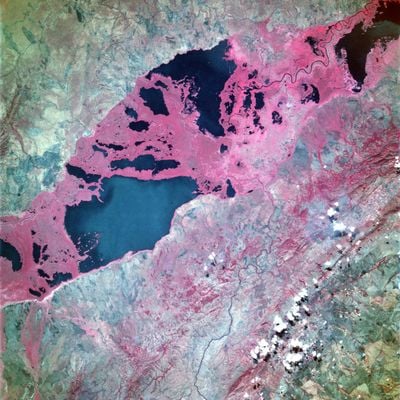
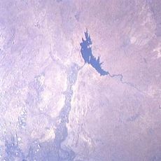
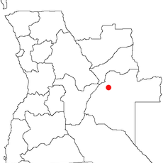
Upemba Depression, Wetland depression in southeastern Democratic Republic of the Congo
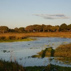
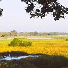
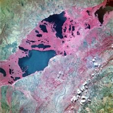
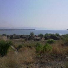
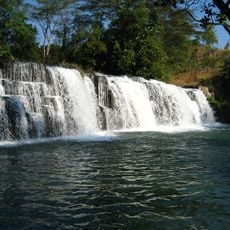
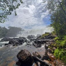
The Upemba Depression is a lowland basin in southeastern Democratic Republic of the Congo with dozens of lakes and marshes spread across its landscape. The area sits at a moderate elevation and contains a vast network of waterways that shape its appearance.
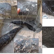
The depression shows evidence of human settlements beginning in the 5th century and connects to the rise of the Luba Kingdom. This early occupation made the area a center where societies in the region developed.
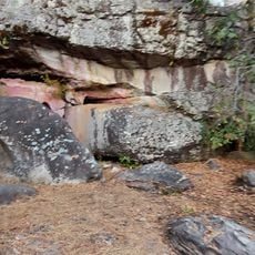
The depression contains archaeological sites like the Kisalian Graves that show how Central African communities evolved over time. These places help visitors understand the story of the people who lived here through what archaeologists have found.
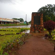
Visiting this area takes careful planning because the terrain is difficult to cross and water routes dominate the landscape. Taking time to prepare and having an experienced guide makes navigation much easier.
The area is formed where several major rivers converge and create an intricate system of connected water bodies. This arrangement allows the region to support a rare ecosystem found in few other places in the world.
The community of curious travelers
AroundUs brings together thousands of curated places, local tips, and hidden gems, enriched daily by 60,000 contributors worldwide.