Rusizi, Border river in Central Africa
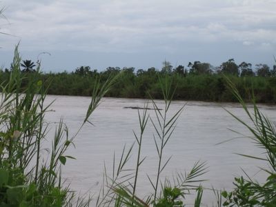
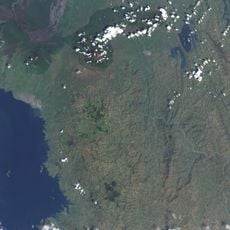
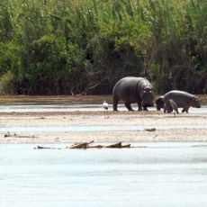
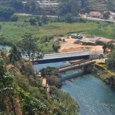
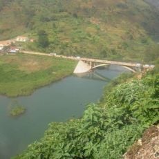
Rusizi is a river in Central Africa that flows southward for roughly 117 kilometers from Lake Kivu down to Lake Tanganyika, forming natural borders between Rwanda, the Democratic Republic of Congo, and Burundi. The waterway connects these two major lakes and serves as a critical link in the region's hydrology.
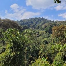
This river formed around 10,000 years ago when volcanic activity created the Virunga Mountains and reshaped the region's water pathways. The geological changes caused water from Lake Kivu to begin flowing southward toward Lake Tanganyika.
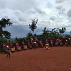
People living along the riverbanks have long used reeds from the swamps for everyday needs and traditional crafts. These practices remain central to how communities connect with their landscape today.
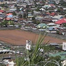
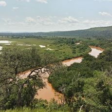
The river can be reached from several points, especially near Bujumbura and along the border areas between the three countries. The upper section has steep grades and fast-moving water, while the lower portion appears calmer.
The river drops roughly 730 meters in elevation from its upper region, making it suitable for hydroelectric generation, which is already in operation. These dramatic height changes resulted from the same volcanic forces that shaped the entire landscape.
The community of curious travelers
AroundUs brings together thousands of curated places, local tips, and hidden gems, enriched daily by 60,000 contributors worldwide.