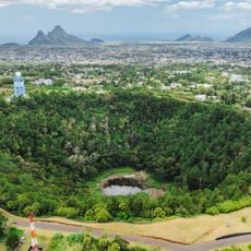
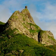
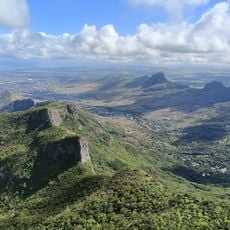
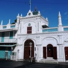
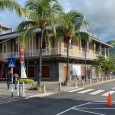
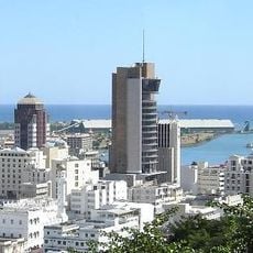
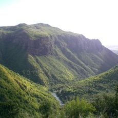
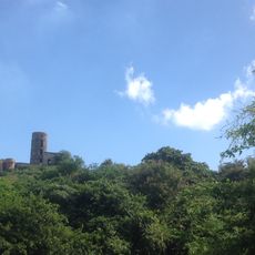
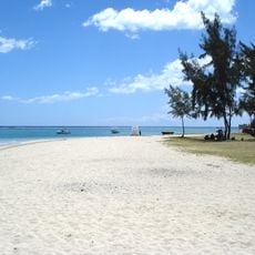
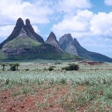
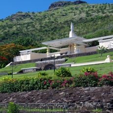
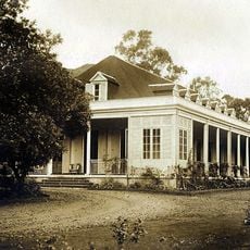
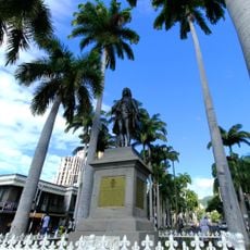
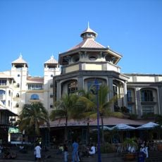
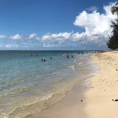
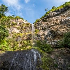
Moka, human settlement in Mauritius
Location: Moka District
Elevation above the sea: 203 m
Address: Moka, Mauritius Moka
GPS coordinates: -20.21900,57.49600
Latest update: April 12, 2025 20:13
Aapravasi Ghat
6.8 km
Sir Seewoosagur Ramgoolam Botanical Garden
15 km
Trou aux Cerfs
11.1 km
Pieter Both
7 km
Le Pouce
4.1 km
Jummah Mosque
6.6 km
Blue Penny Museum
6.5 km
Bank of Mauritius Tower
6.4 km
Curepipe Botanic Gardens
12.6 km
State House
1.5 km
Tamarind Falls
14.3 km
Tour Koenig
5.4 km
La Preneuse
20.3 km
Mauritius Postal Museum
6.6 km
African Safari
13.2 km
Trois Mamelles mountain
11.3 km
Category:Marie Reine de la Paix Port-Louis
5.4 km
Strike City Bagatelle
855 m
L'Aventure du Sucre
15.8 km
State Bank Tower
6.4 km
Port Louis Photography Museum
6.1 km
Theatre of Port-Louis
6.2 km
Historical Ruins of Balaclava
15 km
Maison Eureka
161 m
Statue of Bertrand-François Mahé de La Bourdonnais
6.4 km
Star Cinema
6 km
Flic-en-Flac beach
15.9 km
Mare aux Joncs
19.9 kmReviews
Visited this place? Tap the stars to rate it and share your experience / photos with the community! Try now! You can cancel it anytime.
Discover hidden gems everywhere you go!
From secret cafés to breathtaking viewpoints, skip the crowded tourist spots and find places that match your style. Our app makes it easy with voice search, smart filtering, route optimization, and insider tips from travelers worldwide. Download now for the complete mobile experience.
A unique approach to discovering new places❞
— Le Figaro
All the places worth exploring❞
— France Info
A tailor-made excursion in just a few clicks❞
— 20 Minutes