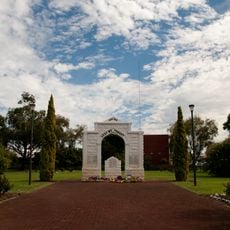
Canning Vale, Administrative division in southeastern Perth, Australia
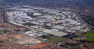
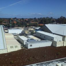
Canning Vale is an administrative division in southeastern Perth that spans a large area split by Nicholson Road between two local councils. The region contains both residential neighborhoods and an industrial zone with warehousing, manufacturing, and distribution operations.
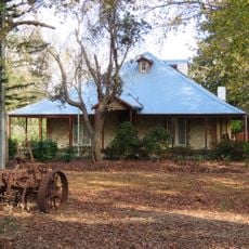
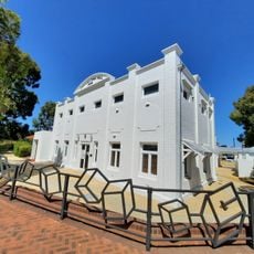
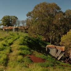
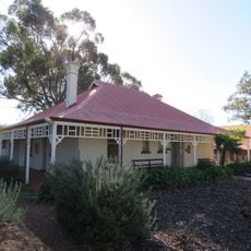
The area was originally called North Jandakot before being renamed around 1925, having served for decades as farmland with market gardens and dairy operations. It transitioned to a residential zone during the 1990s.
The population of 35,504 residents includes significant Chinese and Indian communities, representing 28.6 percent of the total demographic composition.
The area consists of separate zones, so using Nicholson Road as a reference point helps with navigation. Visiting different sections may require some travel time between locations.
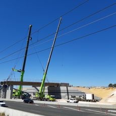
Two new railway stations at Nicholson and Ranford intersections will be connected through the Metronet project, bringing expanded rail access to the region. This infrastructure expansion will significantly improve connections across different zones.
The community of curious travelers
AroundUs brings together thousands of curated places, local tips, and hidden gems, enriched daily by 60,000 contributors worldwide.