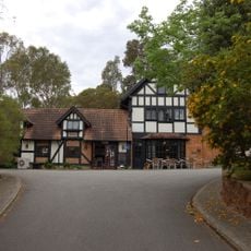
Banyowla Regional Park, Regional park in Perth Hills, Western Australia.
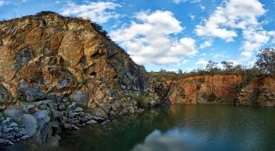
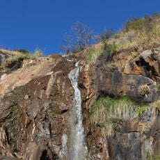
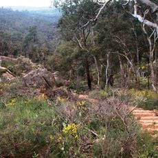
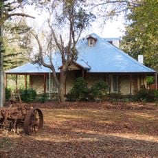
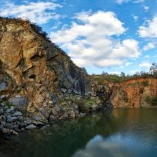
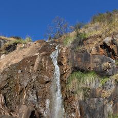
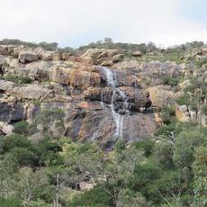
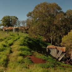
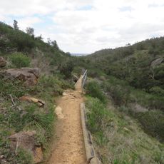
Banyowla Regional Park is a large protected area in the Perth Hills of Western Australia, spanning multiple valleys with diverse landscape features. The land contains several walking trails of varying lengths and difficulty levels that wind through forests and alongside waterways.
The park was established in the 1980s when authorities recognized the environmental value of the land and placed it under protection. Its creation was part of a broader effort to preserve natural areas around the Perth region.
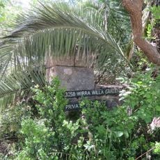
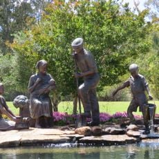
The park is named after Banyowla, a Noongar elder who lived in the region during early European settlement, reflecting the land's deep connection to indigenous peoples. This recognition connects visitors to the area's original inhabitants and their enduring presence.
The trails can feel quite different depending on the season, particularly after rain, so proper footwear is important. Visitors should bring plenty of water and check current trail conditions before heading out.
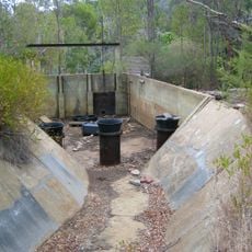
Part of the park follows an old water channel from the 1930s that once transported water from a dam to the city and remains visible today. This historic water transportation route creates an unexpected blend of human infrastructure and natural surroundings.
The community of curious travelers
AroundUs brings together thousands of curated places, local tips, and hidden gems, enriched daily by 60,000 contributors worldwide.