
Wooroloo Regional Park, conservation area in Western Australia
Location: Shire of Mundaring
Elevation above the sea: 282 m
GPS coordinates: -31.85444,116.24670
Latest update: March 5, 2025 01:51
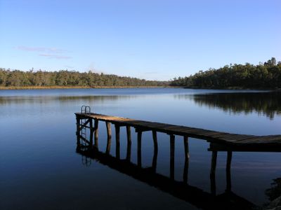
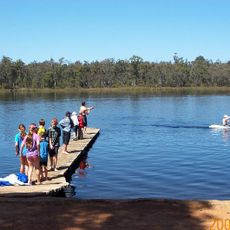
Lake Leschenaultia
366 m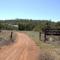
John Forrest National Park
14.8 km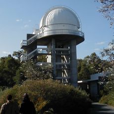
Perth Observatory
20 km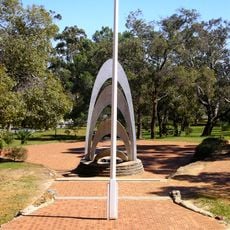
Blackboy Hill
19.6 km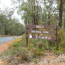
Beelu National Park
13.8 km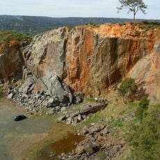
Statham's Quarry
20.8 km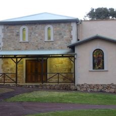
Darlington Hall
17.7 km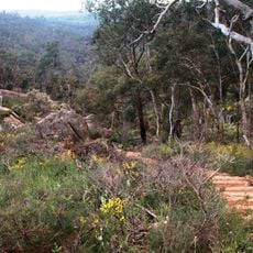
Kalamunda National Park
19.8 km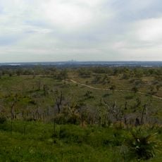
Gooseberry Hill National Park
21.3 km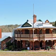
Mundaring Weir Hotel
13.3 km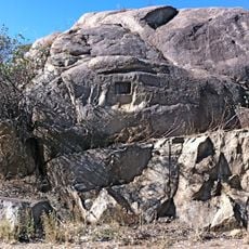
Chippers Leap
17.7 km
Saint Mary's Church
22.8 km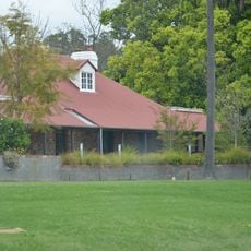
Mahogany Inn
11.8 km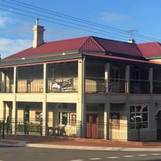
Mundaring Hotel
9.4 km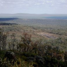
Helena National Park
13.5 km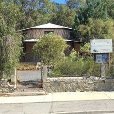
Glen Forrest Hall
15.2 km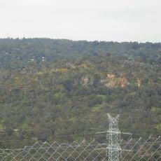
Government Quarries
18.7 km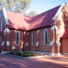
St Mary's Church and Graveyard
22.9 km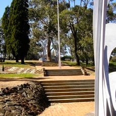
Blackboy Hill Memorial
19.6 km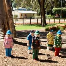
Mundaring Sculpture Park
9.5 km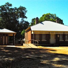
Mundaring Station Master's House
9.5 km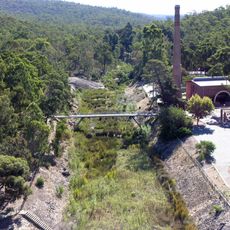
No 1 Pumping Station
13.8 km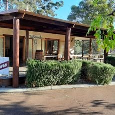
Talijancich Winery
21.8 km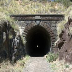
Eastern Railway Deviation
14.9 km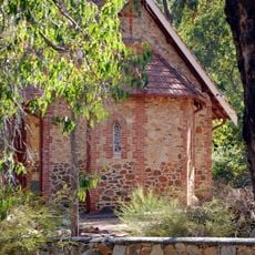
St Cuthbert's Anglican Church, Darlington
17.6 km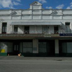
Midland Guest House & Wilkins Coffee Palace
23.1 km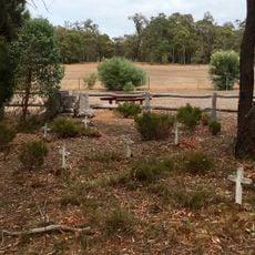
Parkerville Children's Home & Cemetery
10.6 km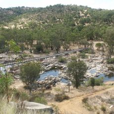
Bells Rapids Bridge
19.6 kmReviews
Visited this place? Tap the stars to rate it and share your experience / photos with the community! Try now! You can cancel it anytime.
Discover hidden gems everywhere you go!
From secret cafés to breathtaking viewpoints, skip the crowded tourist spots and find places that match your style. Our app makes it easy with voice search, smart filtering, route optimization, and insider tips from travelers worldwide. Download now for the complete mobile experience.

A unique approach to discovering new places❞
— Le Figaro
All the places worth exploring❞
— France Info
A tailor-made excursion in just a few clicks❞
— 20 Minutes