Great Northern Highway, highway in Western Australia
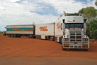
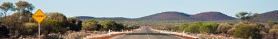
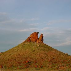
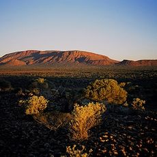
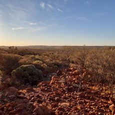
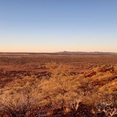
The Great Northern Highway is a major road running through northern Western Australia, connecting remote towns and diverse landscapes across the region. The route is mainly a sealed two-lane road with long straight sections, crossing rivers and passing through farming and mining zones as it stretches from Perth to the northern port of Wyndham.
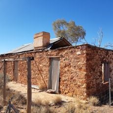
The highway was created in 1944 from existing tracks used by farmers and travelers, originally dusty and difficult to navigate. Extensive upgrades between the 1960s and 1980s sealed all sections progressively, built bridges to handle flooding, and established a reliable connection for commerce and tourism.
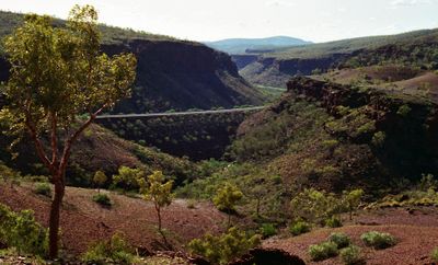
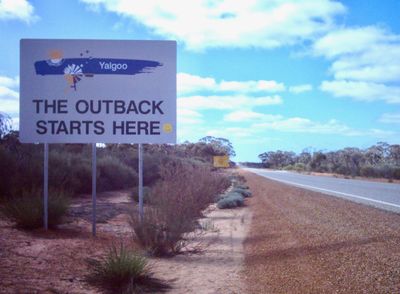
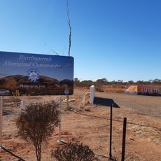
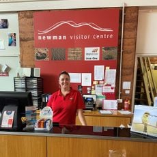
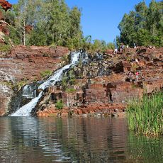
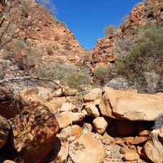
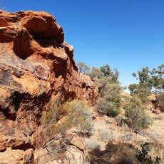
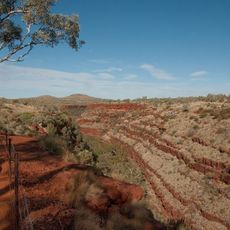
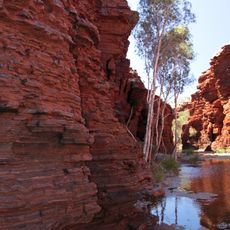
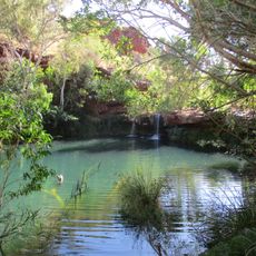
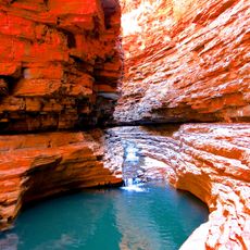
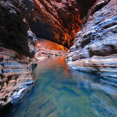
The road passes through areas that have long been home to Indigenous communities, whose stories and traditions shape the landscape. Visitors can experience these connections through local art displays and the natural features that hold deep meaning for the people of the region.
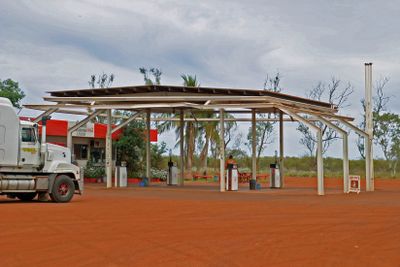
Travelers should plan for long stretches without gas stations or services, especially in the Kimberley and Pilbara zones where mobile phone coverage may be limited. It's wise to carry extra supplies, check weather forecasts, and be prepared for possible road closures due to flooding or maintenance work.
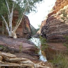
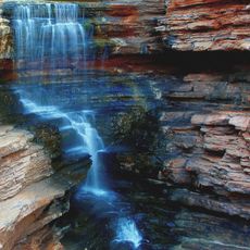
The route crosses multiple rivers with bridges specially built high enough to handle seasonal flooding, yet during severe storms water levels can rise above the bridges, causing closures that last days or weeks. This challenge from extreme weather makes the journey one of Australia's most demanding and adventurous driving experiences.
The community of curious travelers
AroundUs brings together thousands of curated places, local tips, and hidden gems, enriched daily by 60,000 contributors worldwide.