Nullarbor National Park, Nature reserve in South Australia.
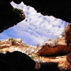
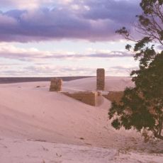
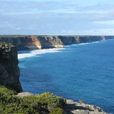
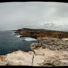
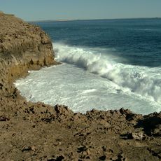
Nullarbor National Park covers flat limestone terrain with numerous caves and underground chambers beneath its surface. These subterranean features shape the landscape and reveal the geological complexity of the region.
Nullarbor National Park was proclaimed in 1979 with an area of 5,781.27 square kilometres. In 2013 the proclamation of the Nullarbor Wilderness Protection Area cut it to 323.10 square kilometres, leaving the park bounded by the Western Australia border to the west and the Nullarbor Regional Reserve to the north. It is an IUCN Category VI protected area and was listed on the Register of the National Estate in 1980.
The park lies within the country of the Mirning people, the traditional custodians of the Nullarbor coast and plain. The Mirning name for the Nullarbor is Oondiri, meaning "the waterless". The park's establishment in 1979 followed the declaration of the Nullarbor Wilderness Protection Area in 2013, which reduced the park to 323.10 square kilometres.
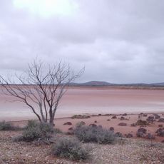
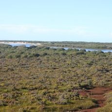
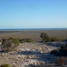
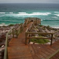
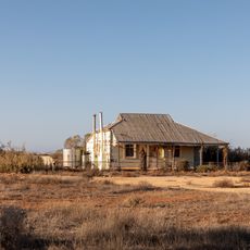
The terrain is relatively flat and accessible by foot or vehicle along marked routes. Visitors should bring ample water and prepare for limited shade, as vegetation is sparse across the landscape.
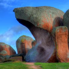
The park's caves, including Murrawijinie, formed in the limestone of the Nullarbor Plain. The plain's name comes from Latin, meaning 'no trees'. The park was listed on the now-defunct Register of the National Estate in 1980.
The community of curious travelers
AroundUs brings together thousands of curated places, local tips, and hidden gems, enriched daily by 93,972 contributors worldwide.