Gunung Cikuray, Stratovolcano in West Java, Indonesia.
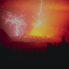
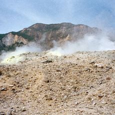
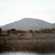
Gunung Cikuray is a stratovolcano in Dayeuhmanggung, Garut Regency, West Java, Indonesia, rising to 2,821 meters. It has no active crater and is the fourth-highest mountain in West Java after Ciremai, Pangrango and Gede. Its broad, rounded summit appears deep blue from a distance, with faint ridges running down its flanks.
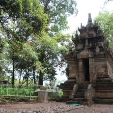
Ancient Sundanese manuscripts call the mountain Gunung Larang Srimanganti or Srimanganten. Around the 17th century its slopes became a mandala, a hermitage and writing centre of the Sunda Kingdom; written evidence is kept at the Ciburuy cultural heritage site in Cigedug district. The mountain has no active crater.
Ancient Sundanese manuscripts give the mountain the name Gunung Larang Srimanganti, also written Srimanganten. In the 17th century its slopes held a mandala, a hermitage centre for priests of the Sunda Kingdom where writing was also carried out. Written evidence of this mandala is kept at the Ciburuy cultural heritage site in Cigedug district.
Four climbing routes lead to the summit: from Desa Dangiang, Bayongbong, Cikajang and Dayeuhmanggung, reached by angkot from Guntur terminal in Garut. The Desa Dangiang route is the gentlest, with a water source and mobile phone signal along the way. Temperatures on the slopes range from 10 to 24 °C, and rain falls in a nine-month wet season.
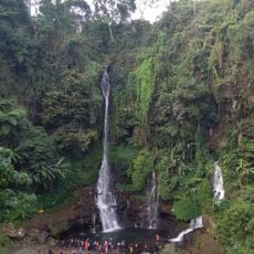
The eastern slopes drain into the Ciwulan river system, which flows toward the Indian Ocean, while the western slopes feed the Cimanuk river. This watershed division makes the mountain an important hydrological landmark for surrounding communities.
The community of curious travelers
AroundUs brings together thousands of curated places, local tips, and hidden gems, enriched daily by 93,894 contributors worldwide.