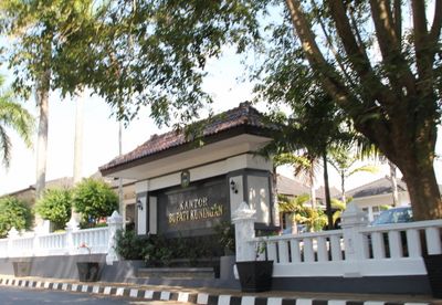
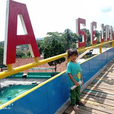
Kuningan, Administrative region in eastern West Java, Indonesia
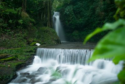
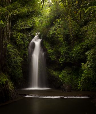
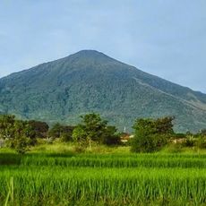
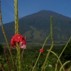
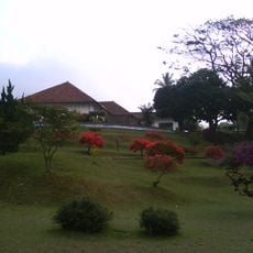
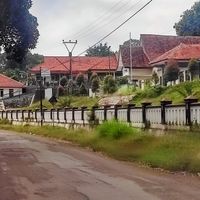
Kuningan sits in eastern West Java and covers an area near Mount Cereme with valleys, forests, rivers, and agricultural land. The terrain rises to around 680 meters above sea level at several points.
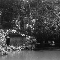
Archaeological excavations at Cipari in 1972 unearthed stone tools and ceramics dated between 3500 BC and 1500 BC. These finds point to early human settlement in the area.
The regency takes its name from the local brass crafts, with the Sundanese word for yellow referring to the metal's color. Most residents speak both Indonesian and Sundanese in everyday life.
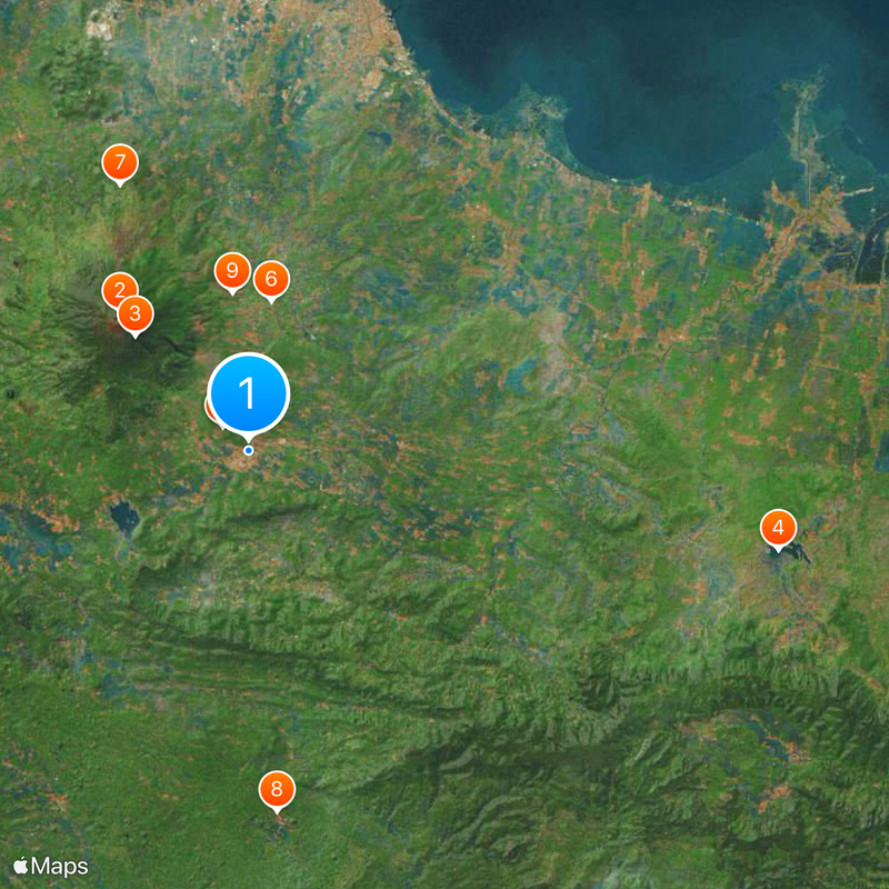
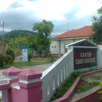
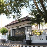
The regency divides into 32 administrative districts, including Kadugede, Cibingbin, Luragung, and Cidahu. Each district has its own local government structure.
The megalithic site near Cipari contains stone foundations of structures that may have been used for ceremonial purposes. Researchers also found charcoal remnants from the Bronze Age there.
The community of curious travelers
AroundUs brings together thousands of curated places, local tips, and hidden gems, enriched daily by 60,000 contributors worldwide.