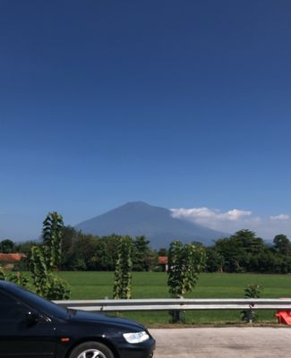
Mount Cereme, Active volcano in West Java, Indonesia
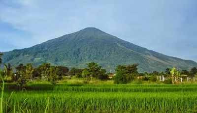
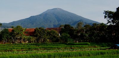
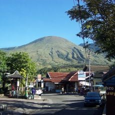
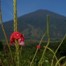
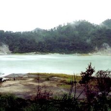
Mount Cereme is an active stratovolcano in Kuningan district, West Java, reaching an elevation of 3,078 meters (approximately 10,100 feet). The summit features two distinct craters, with the western crater spanning roughly 400 meters (1,300 feet) and the eastern crater measuring about 600 meters (2,000 feet) across.
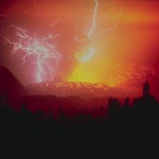
The first documented eruption of this volcano occurred in 1698 during the Dutch colonial period. Later activity was recorded intermittently over the centuries, with the last known eruption taking place in 1937.
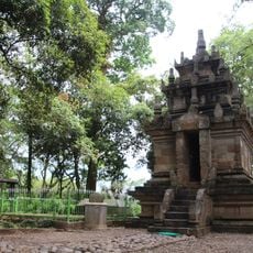
The volcano takes its name from the cereme fruit tree, scientifically known as Phyllanthus acidus, which grows throughout the surrounding region. Local communities have long maintained relationships with this peak, using the lower slopes for agriculture and resource gathering.
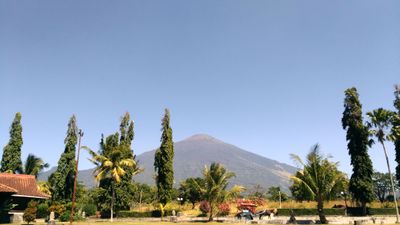
Hikers can reach the summit through several routes, with the most accessible trails beginning in Palutungan and Linggarjati villages in Kuningan district. Weather changes quickly at higher elevations, so visitors should bring warm clothing even if starting in warm conditions.
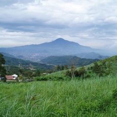
The slopes contain different elevation zones ranging from lowland mountain forest through upper mountain forest to subalpine areas, providing habitat for 95 bird species. This vertical diversity allows visitors to pass through multiple ecosystems during a single ascent.
The community of curious travelers
AroundUs brings together thousands of curated places, local tips, and hidden gems, enriched daily by 60,000 contributors worldwide.