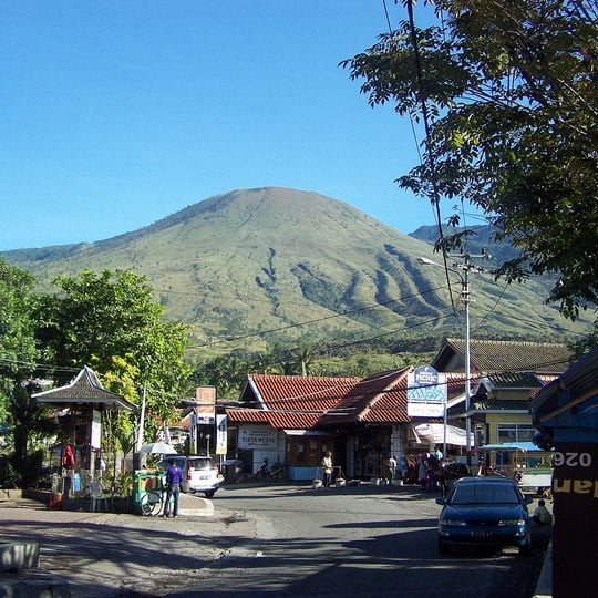
Gunung Guntur, Stratovolcano in Garut, Indonesia.
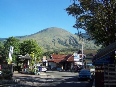
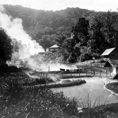
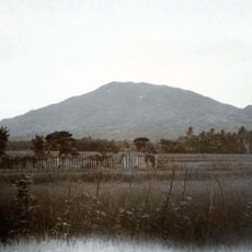
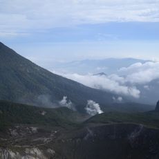
Gunung Guntur is an active stratovolcano in Tarogong Kaler, Garut Regency, West Java, rising to 2,249 metres. It is not a single cone: several old eruption cones sit at its centre, with Gandapura Caldera to the east and Pangkalan Caldera to the west. Slopes range from 2 to 75 degrees, and the upper mountain is sandy and grassy, with pine and cantigi.
Gunung Guntur was among Java's most active volcanoes in the 1800s. Thomas Horsfield recorded fine black sand falling over Batavia on the night of 6–7 April 1803, and the Bataviasche Courant reported an eruption on the night of 21 October 1818. Further eruptions came on 14 June 1825, causing considerable damage, on 14 November 1841, and on 4 January and 26 November 1843. Activity has declined since.
Local people use the Sundanese word for thunder when they speak about this peak, a name heard in nearby villages today. The term connects daily life with the natural forces that emerge from the ground here.
Hikers reach the volcano through two main routes: from the town of Cipanas with its hot springs or from Tanjung Karya near the Kamojang geothermal area. The ascent requires sturdy footwear and enough water, as the trail passes through open terrain with little shade.
The name Guntur means "thunder" in Sundanese. The summit holds a large, deep caldera left by past eruptions, and the sandy surface there supports only a few cantigi shrubs, while pine trees grow lower down. Since about 2013 the number of climbers has risen, and warungs now stand at the climbing posts.
The community of curious travelers
AroundUs brings together thousands of curated places, local tips, and hidden gems, enriched daily by 94,228 contributors worldwide.