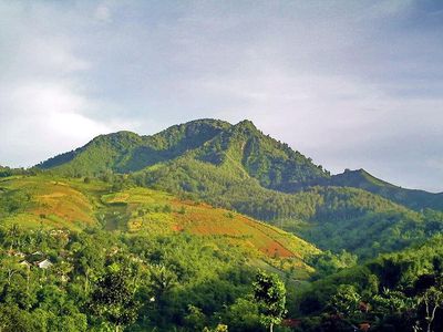
Gunung Manglayang, Mountain summit in West Java, Indonesia
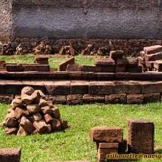
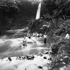
Gunung Manglayang is a mountain in Sumedang that rises to 1,835 meters with forest-covered slopes and rocky terrain shaped by ancient volcanic activity. The landscape displays a wide circular crater wall and substantial lava flows that remain visible across the slopes.
The mountain formed through volcanic processes that created the wide crater wall and substantial lava flows visible today. This geological shaping defines the character of the entire area.
The mountain serves as a destination for local hiking groups who regularly use the trails and connect with nearby communities.
The eastern peak trail takes about two hours from the starting point near UNPAD University, with parking available at the Baru Beureum trailhead. Bring sturdy footwear and plenty of water since the route crosses rocky and steep sections.
The eastern viewpoint at 1,650 meters offers panoramic views across the Bandung plains. The main summit holds a site that locals identify as an ancient burial place.
The community of curious travelers
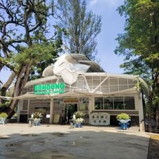
AroundUs brings together thousands of curated places, local tips, and hidden gems, enriched daily by 60,000 contributors worldwide.