Banyuasin, Administrative regency in South Sumatra, Indonesia
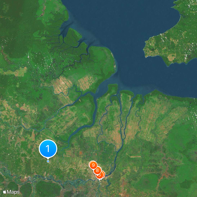
Banyuasin is an administrative regency in South Sumatra covering lowlands, river systems, and agricultural zones along the eastern coast. The territory is divided into twenty-one districts, with Pangkalan Balai serving as the administrative center.
Banyuasin was established in 2002 when authorities separated it from the larger Musi Banyuasin Regency to improve regional administration. This division aimed to create more effective local governance and better serve the population.
Banyuasin is home to several ethnic groups including Javanese, Musi, and Palembang communities, each maintaining their own customs and celebrating local traditions. This cultural diversity shapes daily life and community identity throughout the regency.
Visitors can begin their exploration at Pangkalan Balai, where administrative services and local information are concentrated. The flat terrain and river networks require careful planning when moving through the region.
The region takes its name from the Banyuasin River, which winds through the territory as a vital transportation and life artery. The river continues to connect communities and support traditional fishing and local trade.
The community of curious travelers
AroundUs brings together thousands of curated places, local tips, and hidden gems, enriched daily by 60,000 contributors worldwide.