Drysdale River National Park, Nature reserve in Kimberley region, Australia.
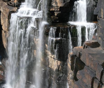
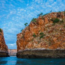
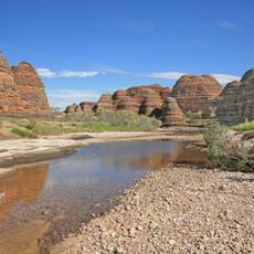
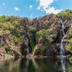
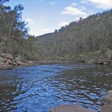
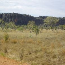
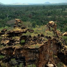
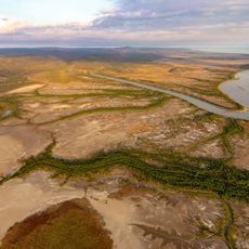
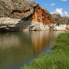
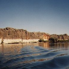
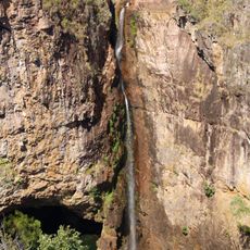
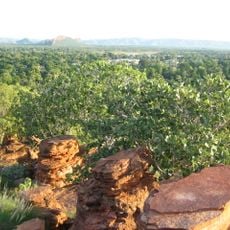
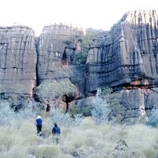
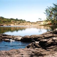
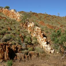
Drysdale River National Park is a nature reserve in the Kimberley region featuring open woodlands, deep gorges, high cliffs, and multiple waterfalls scattered throughout. The landscape is shaped by the river system that flows through it, creating permanent pools and dramatic rock formations along the way.
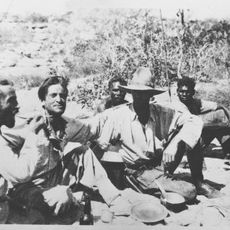
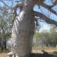
Surveyor Charles Burrowes first documented the area in 1886 and named the river after Thomas Andrew Drysdale, a director of the Victorian Squatting Company. This early exploration helped map the geographic features that define the landscape today.
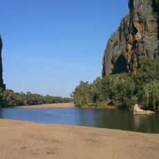
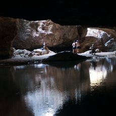
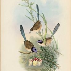
Indigenous Australian artworks known as Bradshaw paintings cover the rock faces near the permanent waterholes along the Drysdale River. These images show the deep connection between the land and the Aboriginal people who have lived in this region for thousands of years.
Visiting requires a permit obtained from the Parks and Wildlife Office in Kununurra, with access limited from January through May due to fire management activities. Plan your visit during the other months and arrange your permit well in advance.
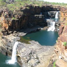
The park contains Morgan Falls and Solea Falls, two spectacular cascades that are particularly striking during the wet season. These permanent waterholes sustain a rich and diverse plant life throughout the reserve.
The community of curious travelers
AroundUs brings together thousands of curated places, local tips, and hidden gems, enriched daily by 60,000 contributors worldwide.