
Pearce, Urquhart and Hervey Islands Important Bird Area, protected area
Location: Northern Territory
GPS coordinates: -15.49944,136.93167
Latest update: March 20, 2025 17:13
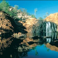
Nitmiluk National Park
505.1 km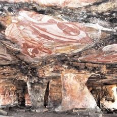
Gabarnmung
499.6 km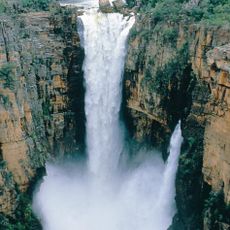
Jim Jim Falls
506.1 km
Boodjamulla (Lawn Hill) National Park
331.4 km
Strangways crater
361 km
Riversleigh
432.8 km
Arafura Swamp
416 km
Limmen National Park
131.8 km
Elsey National Park
406.1 km
Cape Crawford
184.4 km
Australian Fossil Mammal Sites (Riversleigh / Naracoorte)
441.8 km
Cutta Cutta Caves Nature Park
490.4 km
Wurrwurrwuy
352.7 km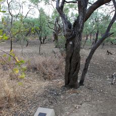
Burke and Wills Camp B/CXIX
492.4 km
Leichhardt Falls
436.2 km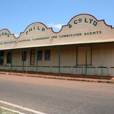
Burns Philp Building, Normanton
504.2 km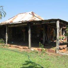
Old Westmoreland Homestead
248.6 km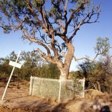
Landsborough Tree
375.5 km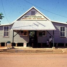
Freckleton's Stores, Camooweal
508 km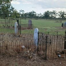
Normanton Cemetery
503.4 km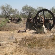
Boiling Down Works, Burketown
375.5 km
Normanton Gaol
504.1 km
Burketown Post Office
374.2 km
Community Hall
508.1 km
Hodgkinson's Marked Tree
500.5 km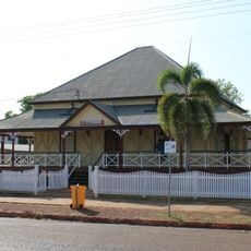
Westpac Bank Building, Normanton
504.1 km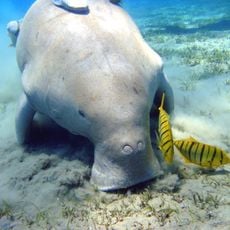
Finucane Island National Park
385.7 km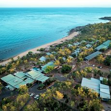
Groote Eylandt Lodge
193 kmReviews
Visited this place? Tap the stars to rate it and share your experience / photos with the community! Try now! You can cancel it anytime.
Discover hidden gems everywhere you go!
From secret cafés to breathtaking viewpoints, skip the crowded tourist spots and find places that match your style. Our app makes it easy with voice search, smart filtering, route optimization, and insider tips from travelers worldwide. Download now for the complete mobile experience.

A unique approach to discovering new places❞
— Le Figaro
All the places worth exploring❞
— France Info
A tailor-made excursion in just a few clicks❞
— 20 Minutes