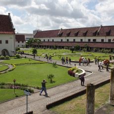
North Buton, Administrative region in Southeast Sulawesi, Indonesia
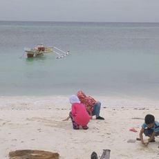
North Buton is an administrative region in Southeast Sulawesi that spans multiple districts with varied terrain ranging from coastal areas to hilly inland zones. The landscape shifts between flat seaside regions and elevated sections that create different environmental conditions across the territory.
The region became independent in 2007 when it formally separated from its parent territory through national legislation establishing it as an autonomous district. This separation marked the beginning of its development as a distinct administrative entity.
Daily life here revolves around traditional crafts and local music that come alive during community celebrations and gatherings. These practices shape how people connect and define their shared identity.
Buranga serves as the main administrative hub where governmental services are based and centered. Local transportation routes link this center to the surrounding districts, allowing movement between different populated areas.
The region experiences a pronounced wet season from December through June with heavy rainfall dominating these months. The remaining months bring significantly drier conditions, shaping how local activities and routines are organized.
The community of curious travelers
AroundUs brings together thousands of curated places, local tips, and hidden gems, enriched daily by 60,000 contributors worldwide.