
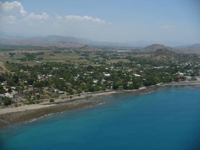
Manatuto, city
Location: Manatuto Municipality
Elevation above the sea: 0 m
GPS coordinates: -8.51667,126.01667
Latest update: March 7, 2025 04:56
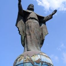
Cristo Rei of Dili
44.9 km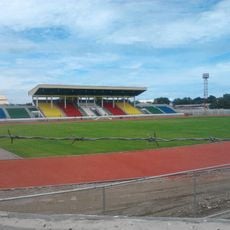
National Stadium
48.2 km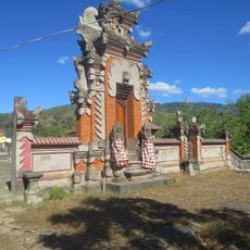
Hindu temple in Dili
46.6 km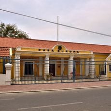
Casa Europa
48.3 km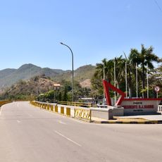
President B. J. Habibie Bridge
47 km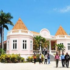
Palácio de Lahane
48 km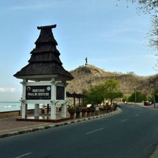
Cristo Rei beach
44.9 km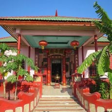
Chinese temple of Dili
48.2 km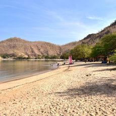
Areia Branca Beach
44.3 km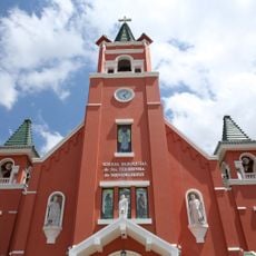
St Theresina's Church
47.8 km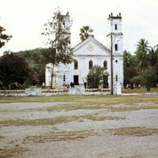
Church of Santo António de Manatuto
610 m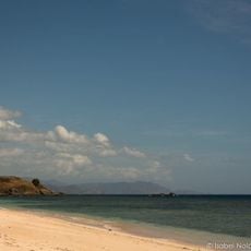
One Dollar Beach
19.1 km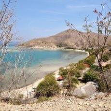
Areia Branca beach and hinterland
44.3 km
Santa Cruz
47.7 km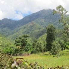
Mount Curi
12.1 km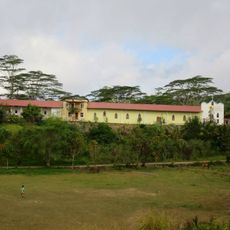
Igreja de São José de Remexio
40.1 km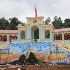
Municipal Market of Baucau
48.4 km
Becora prison
44.5 km
Hotel Turismo
47.5 km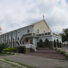
Imaculada Conceição de Balide
48.1 km
Associação Comercial Chinesa (Dili)
48 km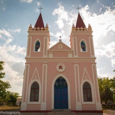
Igreja Paroquial de Laleia
16.3 km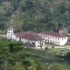
Mission of the Sacred Heart of Jesus
39.6 km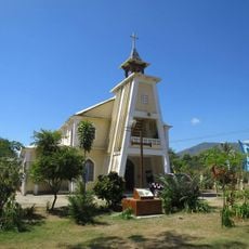
São Tiago de Hera
36.8 km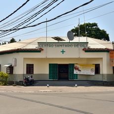
Centro de Saúde, Díli
48.1 km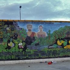
Markt von Taibesi
46.9 km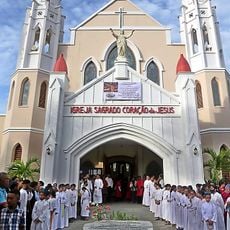
Sagrada Coração de Jesus
45.8 km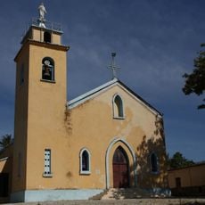
Sagrada Coração de Jesus
42.4 kmVisited this place? Tap the stars to rate it and share your experience / photos with the community! Try now! You can cancel it anytime.
Discover hidden gems everywhere you go!
From secret cafés to breathtaking viewpoints, skip the crowded tourist spots and find places that match your style. Our app makes it easy with voice search, smart filtering, route optimization, and insider tips from travelers worldwide. Download now for the complete mobile experience.

A unique approach to discovering new places❞
— Le Figaro
All the places worth exploring❞
— France Info
A tailor-made excursion in just a few clicks❞
— 20 Minutes