South Bruny National Park, Coastal nature reserve in Kingborough, Australia
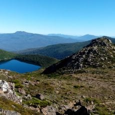
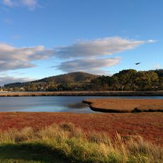
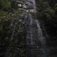
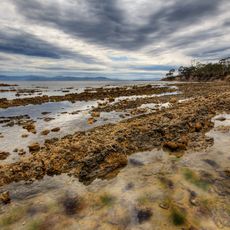
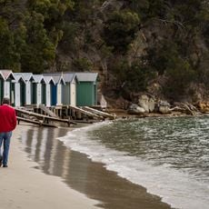
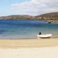
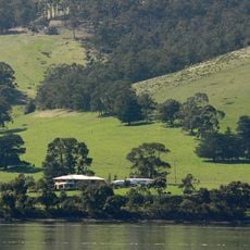
South Bruny National Park covers the southern coastline of Bruny Island, from Fluted Cape to the southern tip and around Cloudy Bay, including the Labillardiere Peninsula and Cape Bruny Lighthouse. Its highest point is Mount Bruny at 504 metres. The park features dolerite cliffs, long beaches, eucalypt woodland, heathland and small patches of temperate rainforest.
South Bruny was declared a national park in 1997, mainly to protect its coastal scenery, Aboriginal and historic heritage, and threatened endemic species. The Cape Bruny Lighthouse within the park was built by convicts in 1838 and was Australia's longest-operating lighthouse. The park also includes the Labillardiere Peninsula, named after French botanist Jacques Labillardière of the Bruni d'Entrecasteaux expedition.
The park lies within the country of the Nuenonne people, who once occupied South Bruny. Several of their cultural sites are found around the park; all are protected, and some are publicised for visitors.
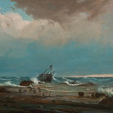
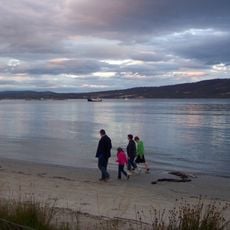
Access to Bruny Island is by ferry from Kettering, then by road to the park's southern section. Walking tracks include routes to the Cape Bruny Lighthouse and along the coast; swimming is possible at Adventure Bay and Jetty Beach, while Cloudy Bay suits experienced surfers. An old whaling station can be seen along the walks.
The park is home to rare white Bennett's wallabies, an unusual color variant of the species rarely found elsewhere. These pale-colored animals are difficult to spot but add special interest for wildlife watchers.
The community of curious travelers
AroundUs brings together thousands of curated places, local tips, and hidden gems, enriched daily by 94,554 contributors worldwide.