Chest opened
+${chestReward.xp} XP
Explorer
NOUVEAU ×${chestReward.collectible.quantity}
tapez pour fermer
Chest locked

Open chests in the app

Around Us is built for your phone — chests unlock when you walk, explore and capture nearby places.

Enable Location

We need your location to show you interesting places around you

Discover nearby places

Find interesting locations and hidden gems around you

Precise directions

Get accurate directions and distances to places

Your location is never shared with other users. It's only used when you tap the location button.

Log in to your account

Start exploring — it's free

Trusted by 73,110 travelers worldwide

Continue with Google
Continue with Apple
or

We will send you a code to connect

By continuing, you accept our Terms and Conditions and our Privacy Policy

Check your inbox

We've sent a pincode in your inbox. Please enter the code below.

Electoral district of Port Fairy
Discussion Reviews Photo
1.3k Popularity

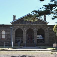
Electoral district of Port Fairy, Former electoral district in Victoria, Australia

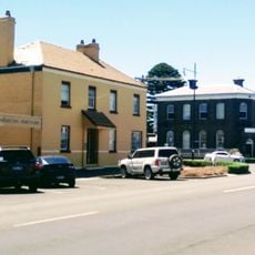
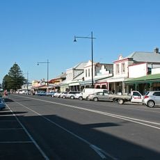
The Port Fairy electoral district was an electoral region in western Victoria that stretched from the coast inland to rural areas. The territory encompassed coastal communities and farmland that together formed an important voting constituency for parliamentary representatives.

The territory was established as an electoral district in 1889 and changed its name from Belfast to Port Fairy. After nearly 4 decades, it was merged with a neighboring district in 1927 and discontinued.

The residents of this area were primarily farmers and coastal communities who depended on local representatives to advocate for their interests. The population developed a strong regional identity through their connection to the members who carried their concerns to Parliament.

Information about this electoral district can be found in the archives of the Victorian Electoral Commission. Researchers and interested visitors can access historical voting records and boundary documents to learn more about the region's political structure.

Henry Bailey from the Labor Party was the final elected representative of the district and retained his seat until its dissolution in 1927. His tenure marked the end of this regional political institution before it merged with another electoral area.

The community of curious travelers

AroundUs brings together thousands of curated places, local tips, and hidden gems, enriched daily by 60,000 contributors worldwide.

Start exploring
Location
GPS coordinates
-38.36667,142.23333
Latest update
December 14, 2025 17:40
Reviews
Share your experience

No review yet

Discussions
Start a discussion...

No discussion yet

« Electoral district of Port Fairy - Former electoral district in Victoria, Australia » is provided by Around Us (aroundus.com). Images and texts are derived from Wikimedia project under a Creative Commons license. You are allowed to copy, distribute, and modify copies of this page, under the conditions set by the license, as long as this note is clearly visible.

Discover hidden gems everywhere you go!

From secret cafés to breathtaking viewpoints, skip the crowded tourist spots and find places that match your style. Our app makes it easy with voice search, smart filtering, route optimization, and insider tips from travelers worldwide. Download now for the complete mobile experience.

Around Us App Screenshot

A unique approach to discovering new places

Le Figaro

All the places worth exploring

France Info

A tailor-made excursion in just a few clicks

20 Minutes

Around Us
Travel Guide & Maps
Download

Send to your phone

QR Code
1

Open the camera app on your mobile.

2

Point at the QR code with your camera. A notification will appear.

3

Tap the notification to open the link.