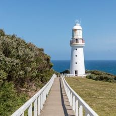
Barwon South West, Regional district in Victoria, Australia
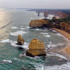
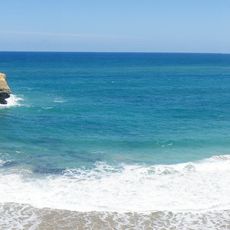
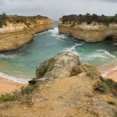
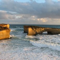
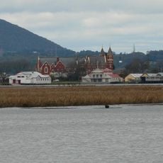
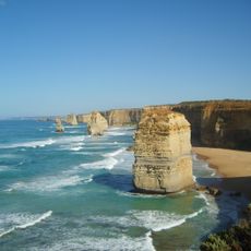
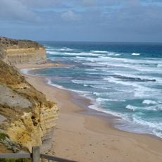
Barwon South West extends from Queenscliff Heads to South Australia's border, encompassing the Great Ocean Road and numerous coastal settlements. The region combines seaside towns, farming areas, and natural landscapes into a diverse expanse.
The name comes from the Barwon River and the region's position in south-western Victoria. It is one of Victoria's economic rural regions, split into two connected districts: Greater Geelong and the Great South Coast. Its nine local government areas and the unincorporated Lady Julia Percy Island are grouped for federal elections into the divisions of Corangamite, Corio and Wannon.
The name comes from the Barwon River and the region's position in south-western Victoria. Nine local government areas make it up, from Greater Geelong to Glenelg and Warrnambool City, plus the unincorporated Lady Julia Percy Island. Its towns include Victoria's largest provincial centre, Geelong, along with Portland, Warrnambool, Port Fairy and Torquay.
Access is easiest via established road networks, with the Great Ocean Road serving as the main coastal route through the region. The deep-water port at Portland and regional airports provide alternative arrival points for different travel needs.
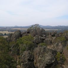
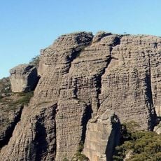
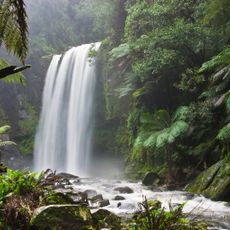
The region holds five national parks: Brisbane Ranges, Cobboboonee, Great Otway, Lower Glenelg and Port Campbell. It also includes Lady Julia Percy Island, an unincorporated area off the coast that belongs to no local government area. The name comes from the Barwon River and the region's position in south-western Victoria.
The community of curious travelers
AroundUs brings together thousands of curated places, local tips, and hidden gems, enriched daily by 94,694 contributors worldwide.