Wimmera, Agricultural region in western Victoria, Australia
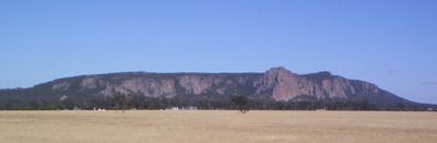
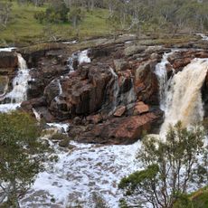
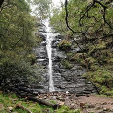
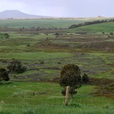
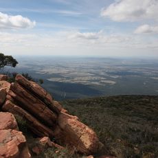
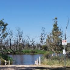
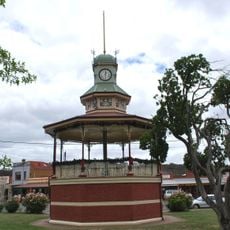
The Wimmera is an agricultural region in western Victoria with flat plains interrupted by Mount Arapiles and bordered by the Grampians mountain range. Waterways run through the landscape, creating the physical structure that has defined settlement and farming patterns here.
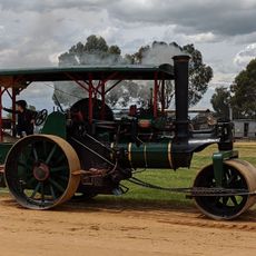
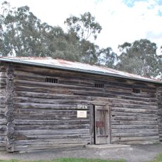
Thomas Mitchell named the region during his Australia Felix expedition in 1836, which led to pastoral settlements spreading along watercourses in the following years. This early development established the foundation for the agricultural way of life that would follow.
The land belongs to the Wotjobaluk, Jaadwa, Jadawadjali, Wergaia and Jpagulk peoples, whose connection to the country shapes the region's character. Their representation through the Barengi Gadjin Land Council Aboriginal Corporation continues to be important to the area today.
The region includes many wetlands that shape how you can explore different areas, particularly during wetter seasons. Rainfall patterns vary across the zone, so checking local conditions before traveling helps with planning what to see and do.
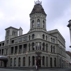
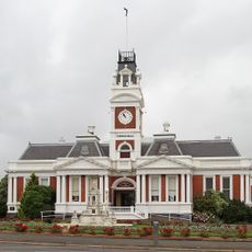
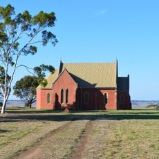
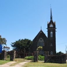
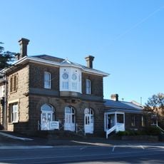
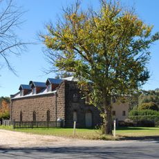
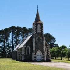
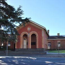
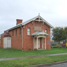
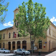
German-Lutheran communities settled around Dimboola and Horsham in the 1870s and 1880s, bringing their own traditions and farming methods. These settlers left a noticeable cultural mark that appears in local buildings and practices you can still see today.
The community of curious travelers
AroundUs brings together thousands of curated places, local tips, and hidden gems, enriched daily by 60,000 contributors worldwide.