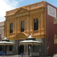
Grampians, Rural region in western Victoria, Australia.
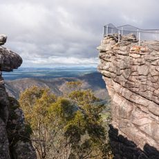
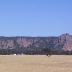
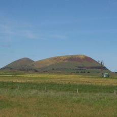
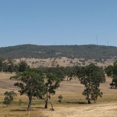
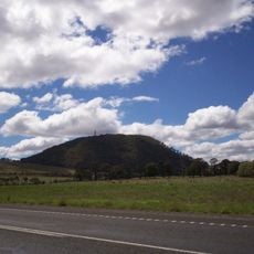
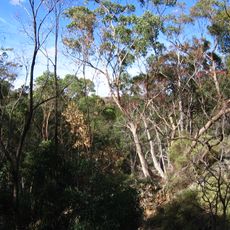
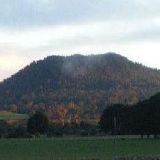
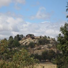
The Grampians is a rural region in western Victoria featuring sandstone mountain ranges, vast national parks, and agricultural lands. The terrain ranges from high ridge peaks to green valleys, creating a varied landscape that stretches between Melbourne and the South Australian border.
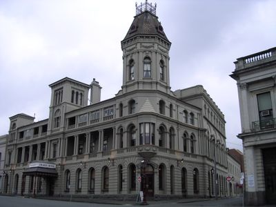
Explorer Thomas Mitchell named this area after Scottish mountains in 1836 during his mapping expedition through the region. His early exploration led to European settlement and shaped how outsiders came to understand this landscape.
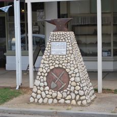
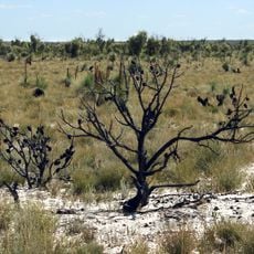
The region holds great cultural meaning for the Djab Wurrung and Jardwadjali peoples, whose connection to this land is visible in rock art and sacred places scattered throughout the area. Many of these sites remain active gathering spots and important landmarks for the local Indigenous communities today.
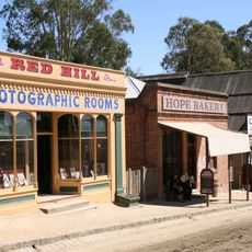
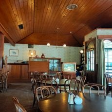
The region is easiest to reach by car from Melbourne, with the drive taking around three hours. National parks and walking trails are accessible by road, and nearby towns offer lodging and basic supplies.
A long hiking trail connects numerous sandstone peaks over several days and opens up remote mountain paths leading to less visited viewpoints. This route is one of the longer walking trails in the country and offers immersive experiences in undisturbed landscape.
The community of curious travelers
AroundUs brings together thousands of curated places, local tips, and hidden gems, enriched daily by 60,000 contributors worldwide.