Great Otway National Park, National park in Victoria, Australia
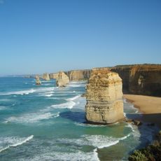
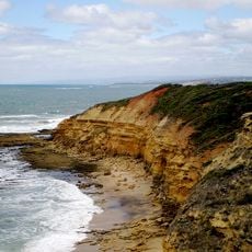
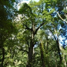
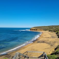
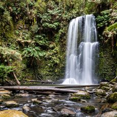
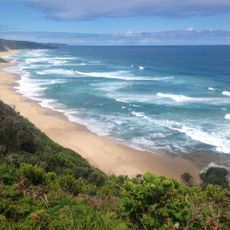
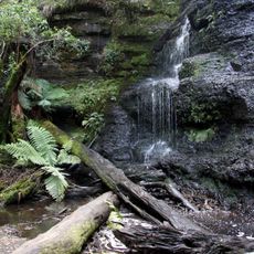
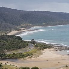
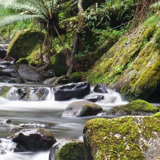
Great Otway National Park covers 103,185 hectares in the Otway Ranges, from Anglesea to near Cape Otway. Its highest point is Mount Cowley at 670 metres. The park holds open grasslands and heath, tall eucalyptus forest, and dark temperate rainforest. Streams run through mossy gullies, and the Great Ocean Road skirts much of its length.
Commercial logging in the Otway Ranges began in the 1880s and peaked in 1961, stripping most old-growth forest. The park was declared in 2004 by combining Otway National Park, Angahook-Lorne, Carlisle and Melba Gully state parks with parts of Otway State Forest, following a campaign by the Otway Ranges Environment Network; it was gazetted on 11 December 2005. The 1983 Ash Wednesday bushfires were the last major fire to shape its ecology.
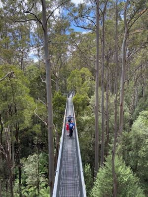
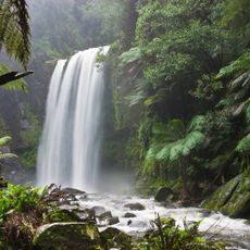
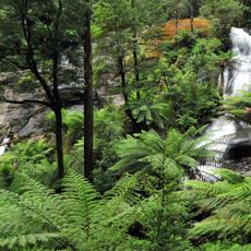
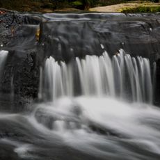
Locals come here to hike along less-visited coastal sections or watch for koalas and tree ferns in the temperate rainforests. Many visitors stop at smaller waterfalls like Triplet Falls, where short forest walks connect with viewing platforms.
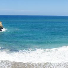
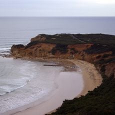
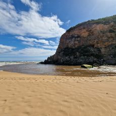
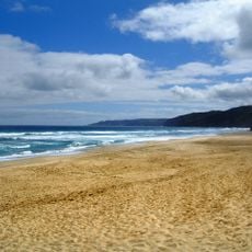
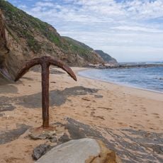
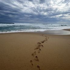
The park offers several camping grounds, including Johanna, Aire River, and Blanket Bay, accessible from towns like Apollo Bay, Forrest, and Princetown. Walking trails range from short strolls under the rainforest canopy to longer coastal hikes along steep cliffs and beaches.
A specific glow worm species, Arachnocampa otwayensis, lives only here and creates natural light displays at night along stream banks and forest paths. These tiny larvae hang sticky threads from rocks and embankments, attracting insects with their bluish glow.
The community of curious travelers
AroundUs brings together thousands of curated places, local tips, and hidden gems, enriched daily by 94,048 contributors worldwide.