
Gellibrand, locality in Victoria, Australia
Location: Shire of Colac Otway
GPS coordinates: -38.52599,143.53996
Latest update: May 3, 2025 05:00
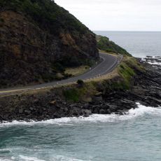
Great Ocean Road
26.4 km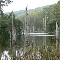
Great Otway National Park
27.6 km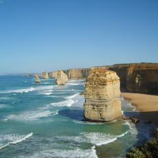
Great Ocean Walk
30.8 km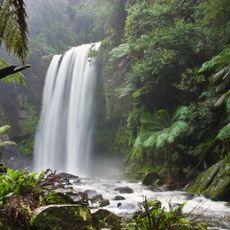
Hopetoun Falls
15 km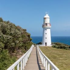
Cape Otway Lighthouse
36.8 km
Eumeralla Formation
37 km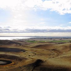
Red Rock
29.1 km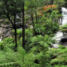
Triplet Falls
16.6 km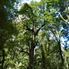
Melba Gully State Park
24.2 km
Colac Botanic Gardens
22 km
Maits Rest
25.6 km
Lorne Pier
39 km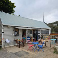
Great Ocean Road Story
37.8 km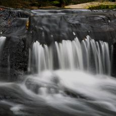
Erskine Falls
32.6 km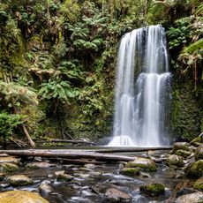
Beauchamp Falls
15 km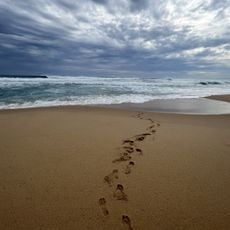
Station Beach
33.9 km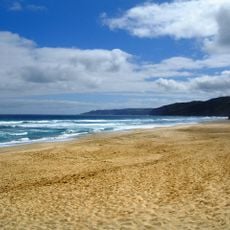
Shelly Beach
30.5 km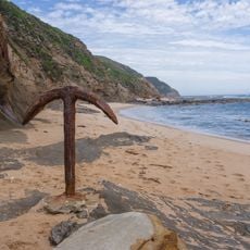
Moonlight Beach
38.2 km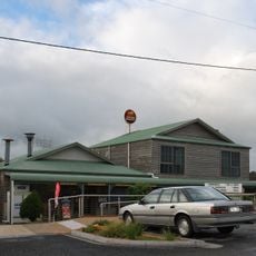
Princetown Twelve Apostles Tavern & Cafe
38.3 km
Johanna Beach
29.6 km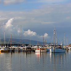
Fishing Fleet Apollo Bay
28.4 km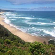
Johanna Beach
29.8 km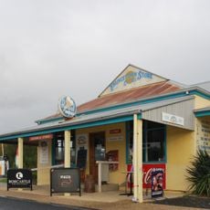
Princetown Store
38.2 km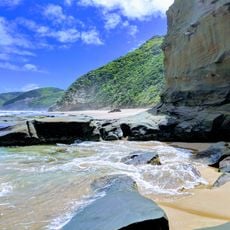
Coast
30 km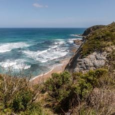
Glenaire, Castle Cove
30.1 km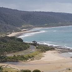
Kennett River
32.2 km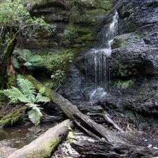
Henderson Falls Lorne Victoria Australia
34.2 km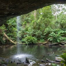
Lower Kalimna Falls
33.1 kmReviews
Visited this place? Tap the stars to rate it and share your experience / photos with the community! Try now! You can cancel it anytime.
Discover hidden gems everywhere you go!
From secret cafés to breathtaking viewpoints, skip the crowded tourist spots and find places that match your style. Our app makes it easy with voice search, smart filtering, route optimization, and insider tips from travelers worldwide. Download now for the complete mobile experience.

A unique approach to discovering new places❞
— Le Figaro
All the places worth exploring❞
— France Info
A tailor-made excursion in just a few clicks❞
— 20 Minutes