
Keilor East, suburb of Melbourne, Victoria, Australia
Location: City of Moonee Valley
GPS coordinates: -37.73934,144.85919
Latest update: March 7, 2025 02:04

Flemington Racecourse
7.3 km
Melbourne Showgrounds
6.6 km
Defence Explosive Factory Maribyrnong
3.3 km
Knights Stadium
2.8 km
Brimbank Park
2 km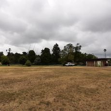
Footscray Park
7.3 km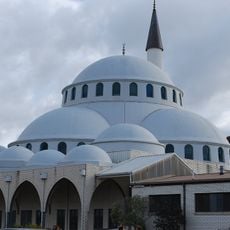
Sunshine Mosque
6.3 km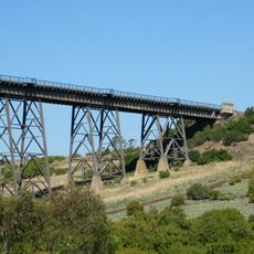
Maribyrnong River Viaduct
1.5 km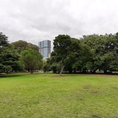
Queens Park, Moonee Ponds
6.3 km
Essendon tram depot
7.7 km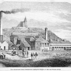
Pipemakers Park
5.2 km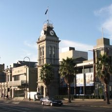
Clocktower Centre
6.5 km
Keilor Botanic Gardens
2.9 km
Melbourne's Living Museum of the West
5.1 km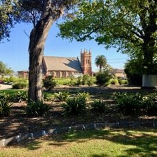
H.V. McKay Memorial Gardens
5.7 km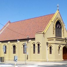
St. Prophet Ilija Macedonian Orthodox Church, Footscray
7.8 km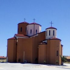
Macedonian Orthodox Cathedral of the Dormition of the Virgin Mary, Sydenham
8.3 km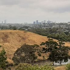
Afton Street Conservation Reserve
2.9 km
St Monica's Church of Footscray
8 km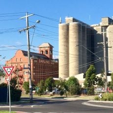
John Darling and Son flour mill
5.3 km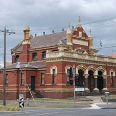
Moonee Ponds Court House
6.4 km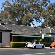
Keilor Hotel
3 km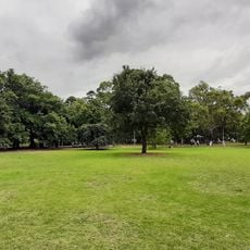
Queens Park
6.2 km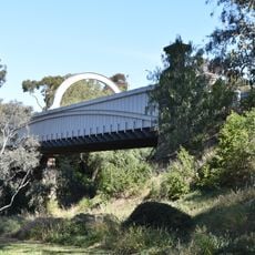
Old Iron Bridge, Keilor
2.4 km
Barkly Theatre
7.4 km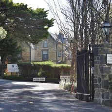
Overnewton
5.1 km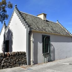
Overnewton Gatehouse
4.8 km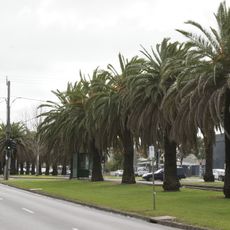
Avenue of palms, Mount Alexander Road
5.2 kmReviews
Visited this place? Tap the stars to rate it and share your experience / photos with the community! Try now! You can cancel it anytime.
Discover hidden gems everywhere you go!
From secret cafés to breathtaking viewpoints, skip the crowded tourist spots and find places that match your style. Our app makes it easy with voice search, smart filtering, route optimization, and insider tips from travelers worldwide. Download now for the complete mobile experience.

A unique approach to discovering new places❞
— Le Figaro
All the places worth exploring❞
— France Info
A tailor-made excursion in just a few clicks❞
— 20 Minutes