Western Port, Tidal bay in Victoria, Australia.
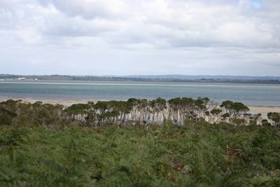
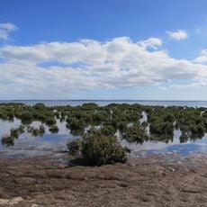
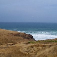
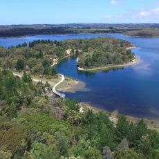
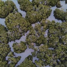
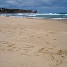
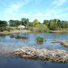
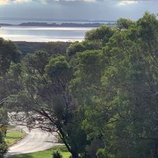
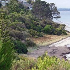
Western Port is a tidal bay on southern Victoria's coast, stretching about 32 kilometers across. The waters include two main islands—Phillip Island and French Island—and feature protected marine areas alongside farming land with cattle and vineyards.
George Bass discovered and named this bay in 1798 during his expedition south from Sydney, calling it after his westernmost point of exploration. This discovery became important in the early European mapping of Australia's southern waters.
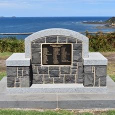
The Boonwurrung people made this coastal area their home for generations, harvesting shellfish and plants from the waters and shores. Their connection to the land remains part of the local identity and heritage.
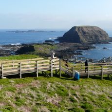
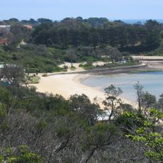
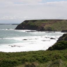
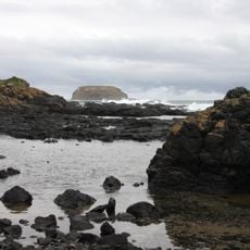
The northern shores are easy to access with parking and paths leading to the water's edge, while the southern section with marine parks is well set up for visitors. Tides and seasons affect wildlife viewing and coastal exploration, so plan your visit accordingly.
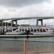
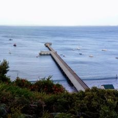
The bay has two separate passages at its mouth, with the eastern channel being narrower and linked to the mainland by a bridge. This unusual geography creates a distinct boundary between the open waters outside and the protected inner bay.
The community of curious travelers
AroundUs brings together thousands of curated places, local tips, and hidden gems, enriched daily by 60,000 contributors worldwide.