Flinders, Administrative division in Mornington Peninsula, Australia
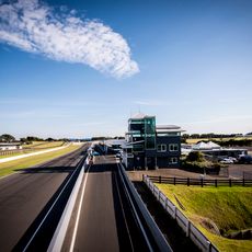
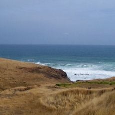
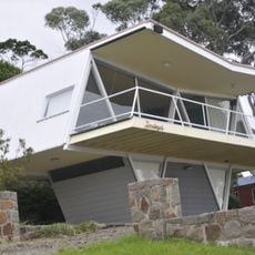
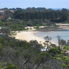
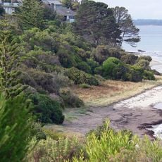
Flinders is an administrative division on the southern coast of Mornington Peninsula, in the state of Victoria, Australia. It covers a stretch of coastline along Bass Strait, with a mix of residential areas, farmland, and rugged coastal terrain.
The area takes its name from Matthew Flinders, the British navigator who mapped much of the Australian coastline in the early 1800s. Settlement followed gradually through the 19th century, with farming and fishing forming the economic base of the community.
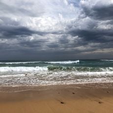
The area around Flinders has long been tied to surfing and recreational fishing, both of which remain part of everyday life for people who live here year-round. Local gatherings and outdoor markets reflect a relaxed coastal way of life that visitors can easily observe and join.
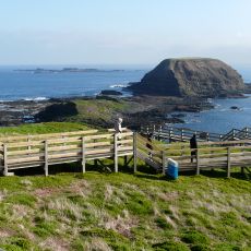
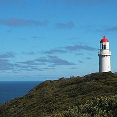
Flinders is most easily reached by car, and once there, coastal walking tracks and small beaches are accessible without much effort. Coastal weather can change fast, so bringing a windproof layer is a good idea regardless of the season.
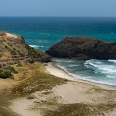
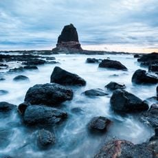
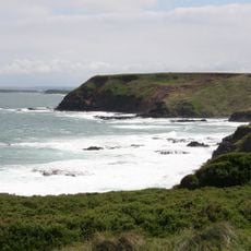
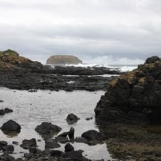
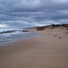
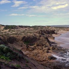
The sandstone cliffs along the Flinders coastline get their reddish color from iron oxide in the rock, which makes them look noticeably different depending on the light and time of day. At low tide, the full height of these formations becomes visible, revealing rock pools at their base.
The community of curious travelers
AroundUs brings together thousands of curated places, local tips, and hidden gems, enriched daily by 60,000 contributors worldwide.