
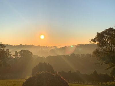
Main Ridge, town in Victoria, Australia
Location: Victoria
Location: Shire of Mornington Peninsula
Elevation above the sea: 203 m
GPS coordinates: -38.40200,144.97200
Latest update: April 17, 2025 12:18
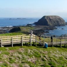
Phillip Island Nature Park
24 km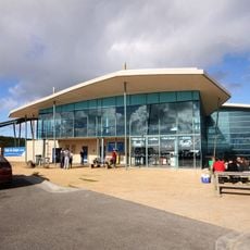
Nobbies Centre
18.1 km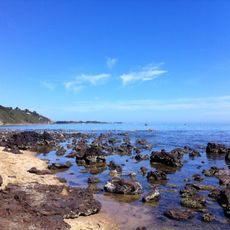
Sunnyside North Beach
24.3 km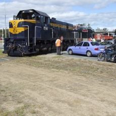
Mornington Railway
22.3 km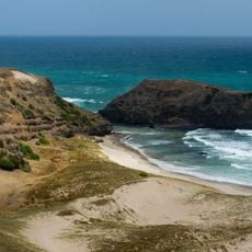
Mornington Peninsula National Park
6.2 km
Mornington Peninsula
9.8 km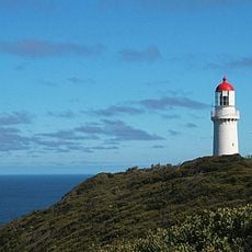
Cape Schanck Lighthouse
12.6 km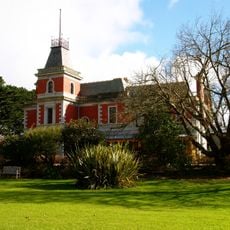
Coolart Wetlands and Homestead Reserve
14.8 km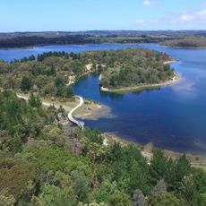
Devilbend Natural Features Reserve
17.2 km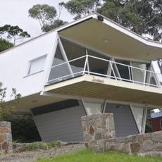
McCraith House
6.5 km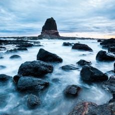
Pulpit Rock
13.1 km
St Andrews Beach House
12.3 km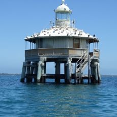
South Channel Pile Light
21.7 km
Aschombe Maze & Lavender Gardens
5.8 km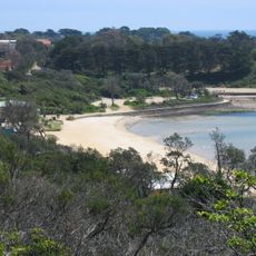
Mills Beach
21.8 km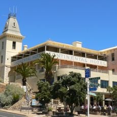
Continental Hotel
21.3 km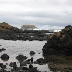
Cowrie Beach
17.9 km
Dimmicks Beach
17.3 km
Sunnyside Beach
23.9 km
Gunnamatta Beach
10.9 km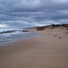
St Andrews Beach
12.3 km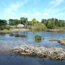
Coolart
15 km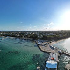
Sorrento Pier Port
21.2 km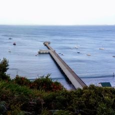
Former Jetty Cargo Sheds
9.4 km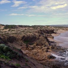
Boag's Rock
11.6 km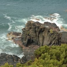
Flinders-Blowhole
9.3 km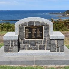
Flinders World War II Memorial
9.3 km
Dock
22.2 kmReviews
Visited this place? Tap the stars to rate it and share your experience / photos with the community! Try now! You can cancel it anytime.
Discover hidden gems everywhere you go!
From secret cafés to breathtaking viewpoints, skip the crowded tourist spots and find places that match your style. Our app makes it easy with voice search, smart filtering, route optimization, and insider tips from travelers worldwide. Download now for the complete mobile experience.

A unique approach to discovering new places❞
— Le Figaro
All the places worth exploring❞
— France Info
A tailor-made excursion in just a few clicks❞
— 20 Minutes