
Shire of Bacchus Marsh, local government area in Victoria, Australia
Location: Victoria
Inception: January 23, 1871
Shares border with: Shire of Ballan
GPS coordinates: -37.68330,144.43300
Latest update: April 30, 2025 19:14
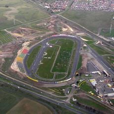
Calder Park Raceway
28.5 km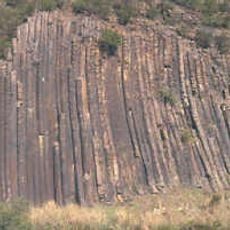
Organ Pipes National Park
29.5 km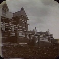
Sunbury Asylum
27.8 km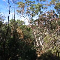
Werribee Gorge State Park
7.8 km
Brisbane Ranges National Park
18.4 km
Fairy Park
27.7 km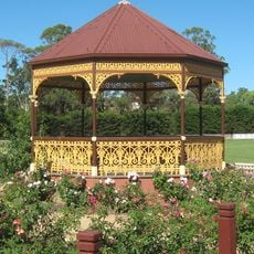
Nieuwesteeg Heritage Rose Garden
478 m
CFA Training College
18.1 km
Baker House
6.8 km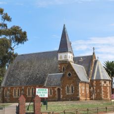
Holy Trinity Church, Bacchus Marsh
1.1 km
Long Forest Nature Conservation Reserve
7.1 km
Lerderderg River diversion tunnel
22.8 km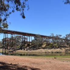
Melton Viaduct
10.3 km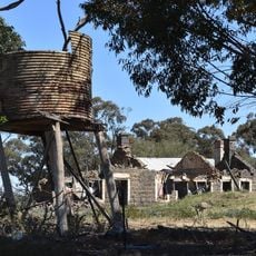
Exford Homestead
14.2 km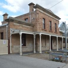
Bacchus Marsh Court House
895 m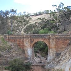
Bridge over Djerriwarrh Creek
7.4 km
Mowbray College, Patterson Campus
13.1 km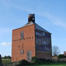
Chicory kiln
1 km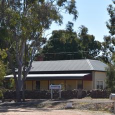
Strathtulloh
14.8 km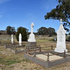
Hopetoun Cemetery
4.6 km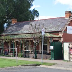
Express Cottage, Bacchus Marsh
1 km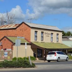
Bacchus Marsh Express Office
1 km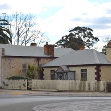
Blacksmiths Cottage, Bacchus Marsh
918 m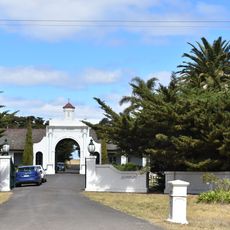
Australian Beam Wireless Receiving Station
20.1 km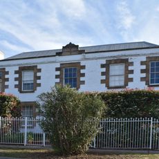
Manor House
1.4 km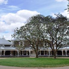
Eynesbury Homestead
16.7 km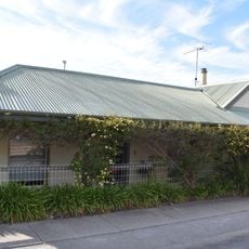
Express Printers Cottage
989 m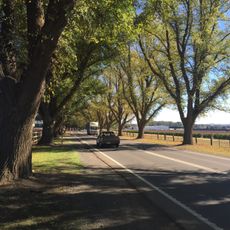
Bacchus Marsh Avenue of Honour
3.7 kmReviews
Visited this place? Tap the stars to rate it and share your experience / photos with the community! Try now! You can cancel it anytime.
Discover hidden gems everywhere you go!
From secret cafés to breathtaking viewpoints, skip the crowded tourist spots and find places that match your style. Our app makes it easy with voice search, smart filtering, route optimization, and insider tips from travelers worldwide. Download now for the complete mobile experience.

A unique approach to discovering new places❞
— Le Figaro
All the places worth exploring❞
— France Info
A tailor-made excursion in just a few clicks❞
— 20 Minutes