Lerderderg State Park, State park in Victoria, Australia
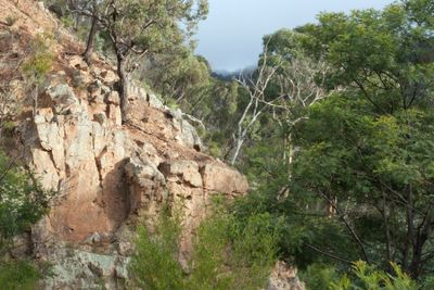
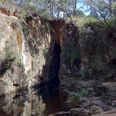
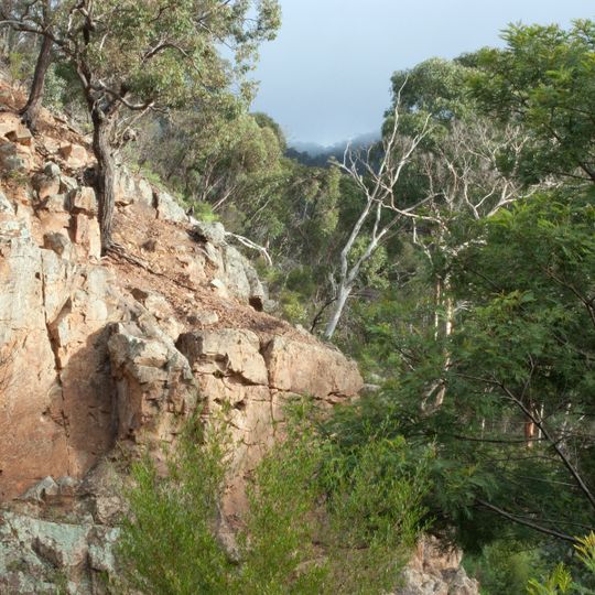
Lerderderg State Park covers 14,250 hectares between Bacchus Marsh and Blackwood, where the Lerderderg River has cut a 300-metre-deep gorge through sandstone and slate, almost bisecting the park. The photograph shows a steep slope of pale orange-brown rock fractured into blocky masses, with grey-green lichen in the lower left and thin bare trunks above.
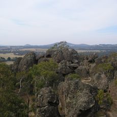
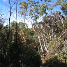
Lerderderg State Park was established on 21 June 1988 and incorporates the former Pyrete State Forest. It lies between Bacchus Marsh and Blackwood, about an hour's drive from Melbourne, and covers 14,250 hectares. The Lerderderg River has cut a 300-metre-deep gorge through sandstone and slate that almost bisects the park.
The Wurundjeri People have a long-standing connection to this land, and their knowledge of it runs deep. Some signs along the trails acknowledge this relationship and give walkers a sense of the place beyond its natural features.
Several marked trails cross the park, from short walks to full-day routes through demanding terrain. After rain the paths can become slippery and uneven, so good footwear makes a real difference whatever time of year you visit.
The Lerderderg Track, part of the Great Dividing Trail, crosses the park from Blackwood in the northwest to Bacchus Marsh in the south. Bicycles are banned from one section of it because the route passes through a conservation area, so walkers there share the track with no riders.
The community of curious travelers
AroundUs brings together thousands of curated places, local tips, and hidden gems, enriched daily by 94,141 contributors worldwide.