Lake Tyrrell, Salt lake in Victoria, Australia
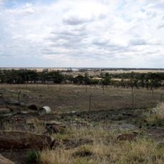
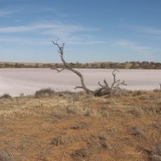
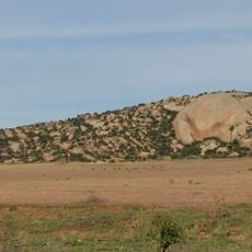
Lake Tyrrell is a shallow, salt-crusted depression in the Mallee district of northwestern Victoria, covering about 20,860 hectares, making it the largest salt lake in the state. It lies 6 km north of Sea Lake and 314 km northwest of Melbourne. In winter, groundwater percolates to the surface and inflows from the Avoca River/Tyrrell Creek system leave a layer of water about 5 cm deep, which reflects the sky.
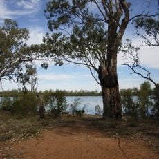
Edward Eyre was the first European to document Lake Tyrrell in 1838, while searching for new grazing land. About 120,000 years ago the lake was roughly 13 metres deep with low salinity; climatic changes then caused cycles of drying and partial refilling. Sand blocking Tyrrell Creek, a distributary of the Avoca River, probably formed the depression.
The name Tyrrell comes from the Wergaia word for "sky". The Boorong clan of the area, part of the Wergaia, was known for its star-lore and told stories tied to constellations in the night sky. A 2010 study by Hamacher and Frew cites this astronomical tradition.
The lake lies 6 km north of Sea Lake and 314 km northwest of Melbourne. In winter about 5 cm of water covers the surface; in dry periods you can walk onto the lake bed where salt has formed a solid crust. A lookout and astronomy deck stands 7–8 km from Sea Lake on the lake's southern side.
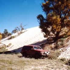
The lake's salt crust is harvested by Cheetham Salt in Sea Lake. Its eastern lunette holds a significant number of Aboriginal relics, a detail most visitors pass without noticing.
The community of curious travelers
AroundUs brings together thousands of curated places, local tips, and hidden gems, enriched daily by 93,375 contributors worldwide.