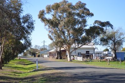
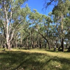
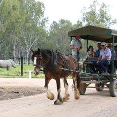
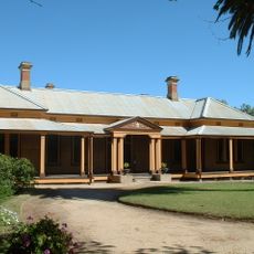
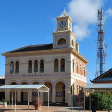
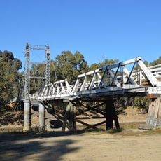
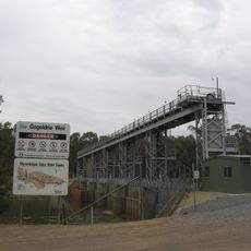
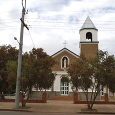
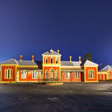
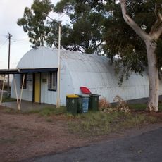
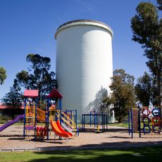
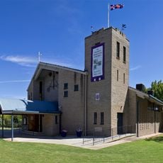
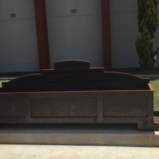
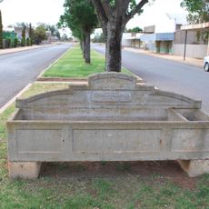
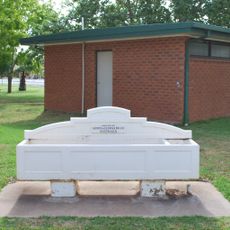
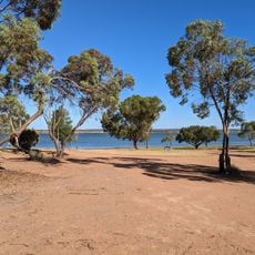
Carrathool, village in Australia
Location: Carrathool Shire Council
GPS coordinates: -34.40915,145.43303
Latest update: March 3, 2025 13:20
Hermit's Cave
60.7 km
Cocoparra National Park
79.4 km
Hay Gaol
56 km
Murrumbidgee Valley National Park
78.2 km
Altina Wildlife Park
62 km
Bishops Lodge
55 km
Hay Post Office
55.3 km
Carrathool Bridge over Murrumbidgee River
4.7 km
Gogeldrie Weir
78.5 km
Our Lady of Pompeii Roman Catholic Church, Yoogali
61 km
Hay Railway Station
55.1 km
Pioneer Park Museum
59.1 km
Leeton Police Station
90.5 km
Hotel Leeton
90.4 km
Leeton Court House
90.5 km
Wade Hotel, Leeton
90.4 km
Waipukurau Park
89.5 km
Black Park
90.5 km
Wade Chambers building
90.4 km
Leeton Water Filtration Plant
90.6 km
Leeton Girl Guides Hall
90.6 km
ANZ Bank building
90.4 km
Parkview Water Tower
90 km
St Peter's Anglican Church
90.4 km
Bills horse trough reproduction, Griffith
57.1 km
Horse trough
72.3 km
Horse trough
55 km
Lake Wyangan Oasis
58.4 kmReviews
Visited this place? Tap the stars to rate it and share your experience / photos with the community! Try now! You can cancel it anytime.
Discover hidden gems everywhere you go!
From secret cafés to breathtaking viewpoints, skip the crowded tourist spots and find places that match your style. Our app makes it easy with voice search, smart filtering, route optimization, and insider tips from travelers worldwide. Download now for the complete mobile experience.
A unique approach to discovering new places❞
— Le Figaro
All the places worth exploring❞
— France Info
A tailor-made excursion in just a few clicks❞
— 20 Minutes