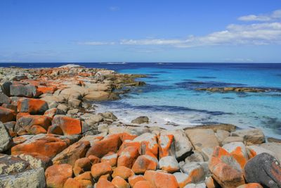
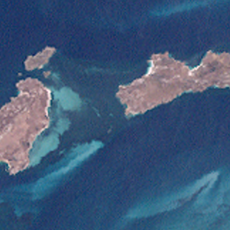
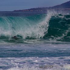
Bay of Fires, Coastal bay in northeastern Tasmania, Australia
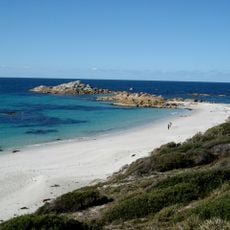
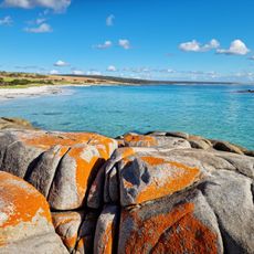
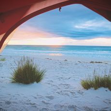
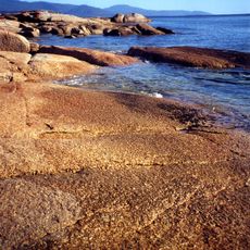
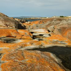
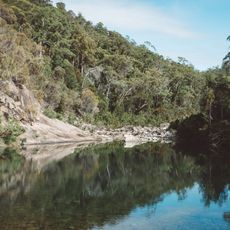
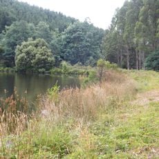
The Bay of Fires stretches from Binalong Bay to Eddystone Point along Tasmania's northeastern coast and combines white sand beaches with rocky granite outcrops. The distinctive orange lichen covering the rocks creates the visual character that defines this coastal stretch.
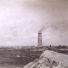
British captain Tobias Furneaux named this location in 1773 after witnessing fires lit by Aboriginal people along the shore during his voyage. The name preserves a moment of contact between European explorers and the area's original inhabitants.
The local Aboriginal name larapuna reflects how the area served as a meeting place for Palawa groups who gathered along this coastline. Different communities used the bays and headlands as central locations for connection and exchange.
Several free camping areas sit along the coastal road between St Helens and The Gardens, with more options available in Mount William National Park. Weather can change quickly here, so plan visits during calmer conditions when access to beaches and tracks is easiest.
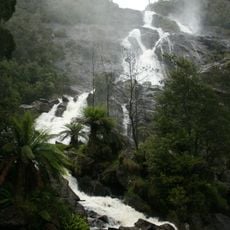
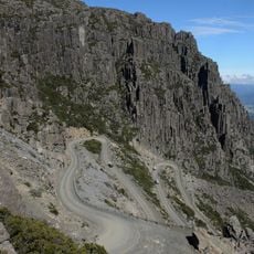
A mountain bike trail about 42 kilometers long connects the Blue Tier mountains to Swimcart Beach, passing through mountain rainforests and coastal landscapes. This route offers an alternative way to experience the region beyond the typical beach stops.
The community of curious travelers
AroundUs brings together thousands of curated places, local tips, and hidden gems, enriched daily by 60,000 contributors worldwide.