
West Albury, suburb of Albury, New South Wales, Australia
Location: Albury City Council
GPS coordinates: -36.07385,146.88969
Latest update: March 16, 2025 21:44
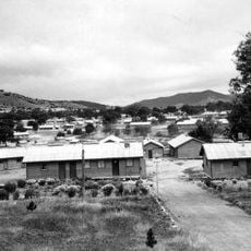
Bonegilla Migrant Reception and Training Centre
12.9 km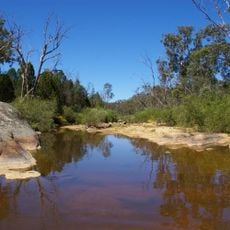
Chiltern-Mt Pilot National Park
24.3 km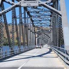
Bethanga Bridge
15.3 km
Albury Library Museum
2.4 km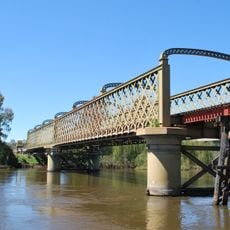
Murray River railway bridge
3.4 km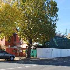
Commercial Hotel, Albury
3.1 km
New Albury Hotel
2.4 km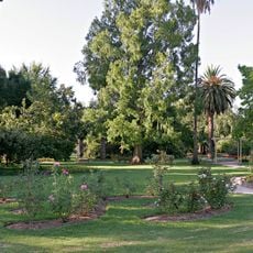
Albury Botanic Gardens
1.9 km
The Army Museum Bandiana
8.4 km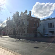
Murray Art Museum Albury
2.5 km
Albury Post Office
2.5 km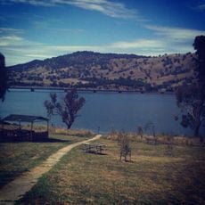
Lake Hume
13.3 km
Elm Court, Albury
2.3 km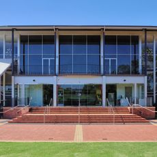
Albury Entertainment Centre
2.5 km
LibraryMuseum
2.5 km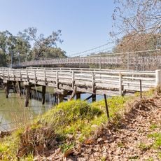
Wodonga Creek Stock Bridge
4 km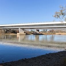
Spirit of Progress Bridge
3.5 km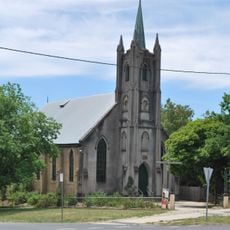
St Andrew's Uniting church, Beechworth
36.4 km
Beechworth Primary School
35.9 km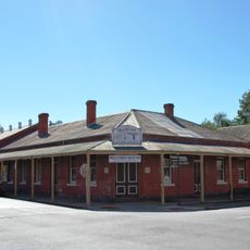
Star Theatre
26.6 km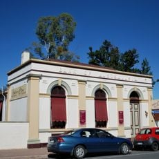
Bank of Australasia, Chiltern
26.8 km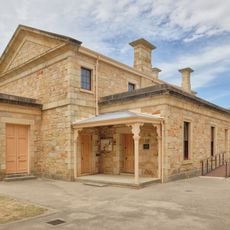
Beechworth Justice Precinct
36.5 km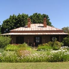
Lake View
26.7 km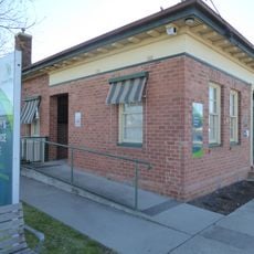
Howlong Library
25.8 km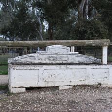
Horse trough
7.4 km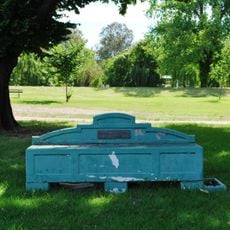
Horse trough
2.4 km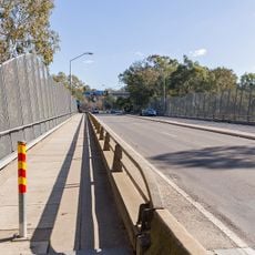
Union Bridge
2.5 km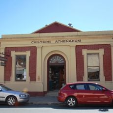
Chiltern Athenaeum
26.6 kmReviews
Visited this place? Tap the stars to rate it and share your experience / photos with the community! Try now! You can cancel it anytime.
Discover hidden gems everywhere you go!
From secret cafés to breathtaking viewpoints, skip the crowded tourist spots and find places that match your style. Our app makes it easy with voice search, smart filtering, route optimization, and insider tips from travelers worldwide. Download now for the complete mobile experience.

A unique approach to discovering new places❞
— Le Figaro
All the places worth exploring❞
— France Info
A tailor-made excursion in just a few clicks❞
— 20 Minutes