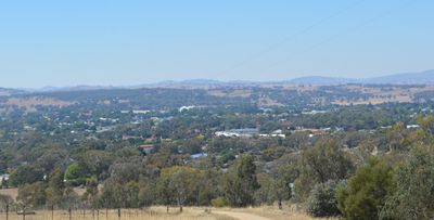
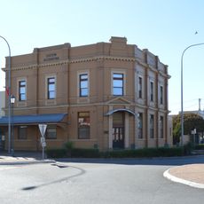
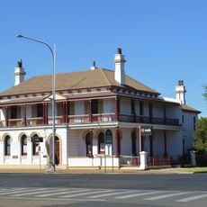
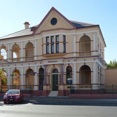
Cootamundra, Administrative division in New South Wales, Australia
Cootamundra is an administrative region in New South Wales's South West Slopes, intersected by the Olympic Highway and Main South railway line. The area spans approximately 1,500 square kilometers and connects several small communities together.
The area formed in 1975 from the merger of Jindalee Shire and the Municipality of Cootamundra into a single local government unit. In 2016, it merged again with Gundagai Shire to create a new regional structure.
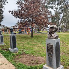
The region holds deep ties to the Wiradjuri people, whose language gave the area its name meaning turtle. This connection to Aboriginal heritage remains woven through local identity and community memory.
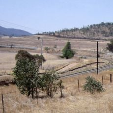
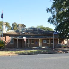
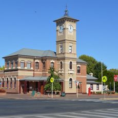
The region is well connected by the Olympic Highway and Main South railway line with multiple access points. Visitors should know this is a large administrative area with several towns spread across the landscape.
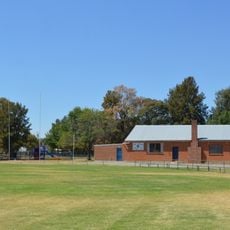
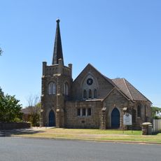
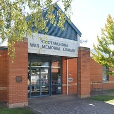
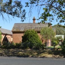
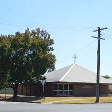
The area includes several small towns like Stockinbingal, Brawlin, and Wallendbeen that often go unnoticed by visitors. These scattered communities maintain their own distinct identity and local stories within the larger administrative framework.
The community of curious travelers
AroundUs brings together thousands of curated places, local tips, and hidden gems, enriched daily by 60,000 contributors worldwide.