·

Enable Location

We need your location to show you interesting places around you

Discover nearby places

Find interesting locations and hidden gems around you

Precise directions

Get accurate directions and distances to places

Your location is never shared with other users. It's only used when you tap the location button.

Kiama

Log in to your account

Start exploring — it's free

Trusted by 62,647 travelers worldwide

Continue with Google
Continue with Apple
or

We will send you a code to connect

By continuing, you accept our Terms and Conditions and our Privacy Policy

Check your inbox

We've sent a pincode in your inbox. Please enter the code below.

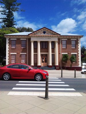
Kiama, Local government area in Illawarra region, Australia

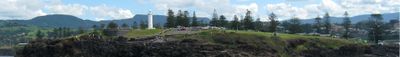
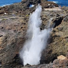
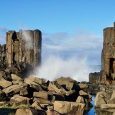
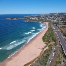
Kiama is a local government area in the Illawarra region of New South Wales, situated south of Wollongong along the Pacific coastline. The municipality encompasses farmland, small communities, and coastal areas that form a single administrative jurisdiction managing local services and planning.

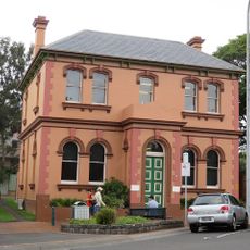
European settlement began in the early 19th century, with the area initially developed for agriculture and farming. The municipal administration took shape over time to coordinate local services and infrastructure across the region.

Regular precinct meetings and community forums engage over 21,500 residents in municipal decisions, fostering participation in local governance and development planning.

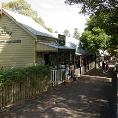
Visitors can find information about local services and community events through the council website or by attending public meetings. The area is best explored by driving, as attractions and services are spread across different neighborhoods and small towns.

The council acquired a commercial property near the Works Depot for 6.3 million dollars, demonstrating investment in municipal infrastructure expansion.

The community of curious travelers

AroundUs brings together thousands of curated places, local tips, and hidden gems, enriched daily by 60,000 contributors worldwide.

Start exploring
Location
Location
Elevation above the sea
19 m
Shares border with
Kiama Downs, Bombo, Kiama Heights, Saddleback Mountain, Jerrara, Jamberoo
GPS coordinates
-34.67083,150.85417
Latest update
December 19, 2025 22:30
« Kiama - Local government area in Illawarra region, Australia » is provided by Around Us (aroundus.com). Images and texts are derived from Wikimedia project under a Creative Commons license. You are allowed to copy, distribute, and modify copies of this page, under the conditions set by the license, as long as this note is clearly visible.

Discover hidden gems everywhere you go!

From secret cafés to breathtaking viewpoints, skip the crowded tourist spots and find places that match your style. Our app makes it easy with voice search, smart filtering, route optimization, and insider tips from travelers worldwide. Download now for the complete mobile experience.

Around Us App Screenshot

A unique approach to discovering new places

Le Figaro

All the places worth exploring

France Info

A tailor-made excursion in just a few clicks

20 Minutes

Around Us
Travel Guide & Maps
Download

Send to your phone

QR Code
1

Open the camera app on your mobile.

2

Point at the QR code with your camera. A notification will appear.

3

Tap the notification to open the link.